
Day 13 of a Year Long Road Trip Along America’s Scenic Byways
On my way to the Seaway Trail in New York, I crossed a bridge spanning the Ohio River and took 11 North to Ashtabula, Ohio. I was still lacking a cache from this state and wasn’t planning on returning over my year long road trip. Consequently, in order to grab a geocache in every state, I pulled in a gas station, referred to the app on my iphone, and found a cache was hidden 0.5 miles away.
The geocache was located on private property with approval, but across the street from a church. Being Sunday, I had to watch for “muggles” (the geocaching word for observers) and use stealth. After a quick grab, I was back on the highway heading to the Seaway Trail. I drove through four states today (West Virginia, Ohio, Pennsylvania, and finally New York).

Niagara Falls State Park
It took about 4 hours to get to Niagara Falls State Park, and much of the drive was through the rain. While the weather stunk, I considered stopping off in Buffalo to watch the Bills game at a local bar, just to get the flavor, but fortunately it cleared up. Improved weather would enhance my visit to Niagara Falls, though I suppose rain every few weeks isn’t too bad. I get a badly needed, free car wash.
I didn’t expect to spend much time at Niagara Falls, as I had been there previously and had seen the falls from above, from the boat (Maid of the Mist), and from beneath the falls in the Cave of the Winds. Surprisingly, I still stayed at least an hour, likely due to my fascination with waterfalls. I’m glad I finally got to one that hasn’t dried up from the drought like my previous two stops in Ohio!


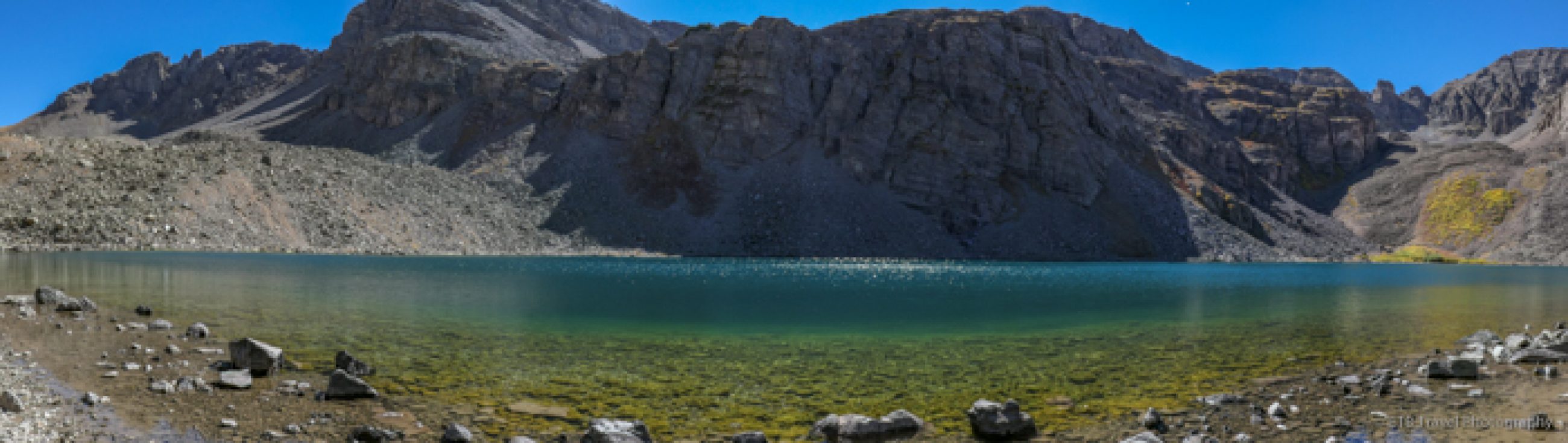
In the process of getting to the oldest state park in the United States (established in 1885), I completed my daily requirement of getting lost. I tried following the signs, but some of the roads were under construction and some signs pointed to Canada. I didn’t want to end up at the border with my dogs trying to show them proof of rabies vaccines. As a result, I kept exiting prematurely. Finally, I just looked up and saw the mist…from miles away. Wow, such force!
Earth Cache
The American Falls and Bridal Veil Falls are to one side of Goat Island and split by Luna Island, making Bridal Veil Falls just a sliver comparatively. Terrapin Point Horseshoe Falls passes by the other side of Goat Island. Horseshoe Falls’ crest line is 2,500 feet, its height is 167 feet, and its summer flow is 675,000 gallons/second.
American Falls and Bridal Veil Falls have a crest line of 1,100 feet, a height of 176 feet, and a summer flow of 75,000 gallons/second. It’s hard to imagine that anyone ever survived going over these falls in a barrel. Both these falls qualify as an “earth cache” if you have your picture taken by the falls and you can quote their flow, so I’ve already logged two caches while being in New York.

Lewiston
My driving tour along the Seaway Trail led me through the historic district of Lewiston complete with a street fair. Merchants sold their crafts on the tent-lined streets, while pedestrians meandered in and out of quaint restaurants and stores along the way. I continued through town and followed the Seaway Trail to Old Fort Niagara.
Old Fort Niagara
Old Fort Niagara is located at the mouth of the Niagara River and controlled access to the Great Lakes and the westward route to the heartland. It was considered vital until the completion of the Erie Canal in 1825.
The fort has an extensive history having been owned by three different nations, the French, the British, and the Americans. The French were the first to establish a post here. They built two different forts beginning in 1679 before erecting a permanent fortification, the “French Castle”. The building was designed to resemble a manor house in order to calm the suspicions of the hostile Iroqouis.
Britain gained control of Fort Niagara during the French & Indian War in 1759. After almost 40 years under the British hand, the English were forced to yield the fort by treaty to the United States after the American Revolution in 1796. The United States controlled the fort until the British recaptured it in 1813. After the War of 1812, however, Britain again ceded it to the United States. Later, Fort Niagara served as a barracks and training post for American soldiers during both World Wars.


Given I’m not much of a history buff, I debated even touring Fort Niagara. I’m glad I did. Nothing is off limits. I entered every building, floor, and room. The fort also affords lovely views of boats sailing in the Niagara River and Lake Ontario, and on a clear day the skyline of Toronto can be seen some 27 miles away (I saw it).
Golden Hill State Park
After my tour of Old Fort Niagara, I followed the Seaway Trail for 30 miles past what seemed like countless state parks to end my day at Thirty Mile Point Lighthouse in Golden Hill State Park. The 61 foot lighthouse was built in 1875 to mark a dangerous offshore sandbar that once sunk a ship owned by LaSalle in 1678. It also sunk the HMS Ontario during a Halloween blizzard. Of the 88 passengers, none survived. The lighthouse wasn’t open when I arrived, so I hope to learn more about it in the morning.

The sunset, however, made up for the lighthouse being closed. It was truly one of the most amazing I have ever seen. The sky was filled with an array of pinks, purples, yellows, and oranges and while the lake reflected an almost crimson color…absolutely breathtaking! Now, if only I get to see the bear that visited yesterday. To be continued…ETB


Map of My Road Trip Across the USA
For a summary about my road trip across the USA, click HERE. For the interactive map, see the below link.

Other Articles About New York You May Like
- Day 14 – Rochester and Sights Along the Seaway Trail
- Day 15 – Sights Along the Seaway Trail – Part 3
- Day 16 – Adirondack Adventure
- Day 39 – New York’s Hudson River Valley
- Day 40 – New York’s Hudson River Valley -Part 2
Shop
Check out the photographic note cards and key chains at my shop. Each card has a travel story associated with it. 20% of proceeds are donated to charity.


I am curious to know what you find in the caches? (pronounced cashes I believe… yes?) I have googled and read about Geocaching and I read there is a log book you sign; however, what things, if any, are you finding? Very interesting and I love the picture through the window and all the others. Have you “picked up” anymore cute men?
haha…talked to a handful of people today, but I didn’t get any of their names. If it is a physical cache vs. a virtual or earth cache anything can be in them depending on the size…generally cheap stuff – pencils, kids toys, sometimes a book or CD, candles, nothing that I generally want…I just like finding them. And it is fun to read what people write if there is enough room. I do like to pick up travel bugs once in a while. Those are meant to travel between caches. They have a tracking number that you log into the website when you pick it up and drop it off. I haven’t found one on this trip…I move one from Colorado to Texas every year and brought one home from Machu Picchu. It had a goal associated with it and needed to get to Pennsylvania. Yes, I’m a geek.
what happened to your ankle a big WOW for thar sunset
Great pics of Niagra Falls. Nice to see pic of you.
Sunset is awesome!
M
My brother lives in Maryland and when I’m visiting him and see a groundhog I always think “who’s dog is loose?” They are so big. It seems strange to have such big animals just running around wild! Loved the sunset.
Thank you for handing me the card at Malabar Farms. I’m enjoying your blog. I am waiting for the next jewel of a park that you are going to write about. I wish you and your canine companions well on your trip!!!
That is so awesome you are reading it! Glad you enjoy…