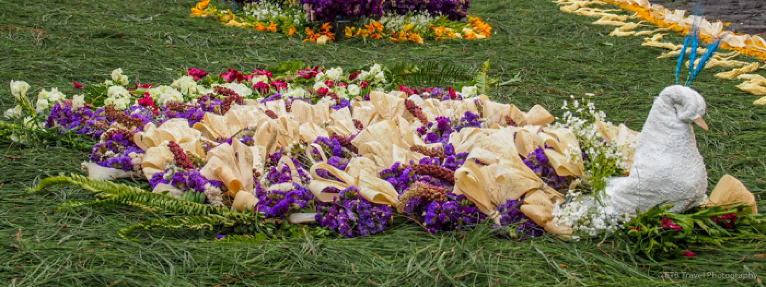
Day 155 of Year Long Road Trip Along America’s Scenic Byways
Mount Shasta Cascade Loop
Petey and I awoke to another glorious day! My weather app on my iPhone forecasts wonderful weather all week. I hope it is right! We began the morning driving A10 toward Mount Shasta. It makes a relatively easy climb nearly half-way to the glacier-clad summit where it dead ends. Many winter enthusiasts were strapping on cross-country skies while I simply turned VANilla around and headed back down the mountain. The drive afforded some fantastic views, but it was so nice outside, I would have rather just found a trailhead leading into Shasta-Trinity National Forest.

Dunsmuir
After weaving down the mountain, we continued south to Dunsmuir, an old railroading town whose bare streets clearly confirmed the town businesses were closed on Sundays. Dunsmuir is also known for its drinking water, which comes from an underground spring and is bottled for nationwide export. The town calls itself: “Home of the Best Water on Earth”. I tried tasting it at a public water fountain located at Hedge Creek Falls, but the handle to the fountain was broken off.

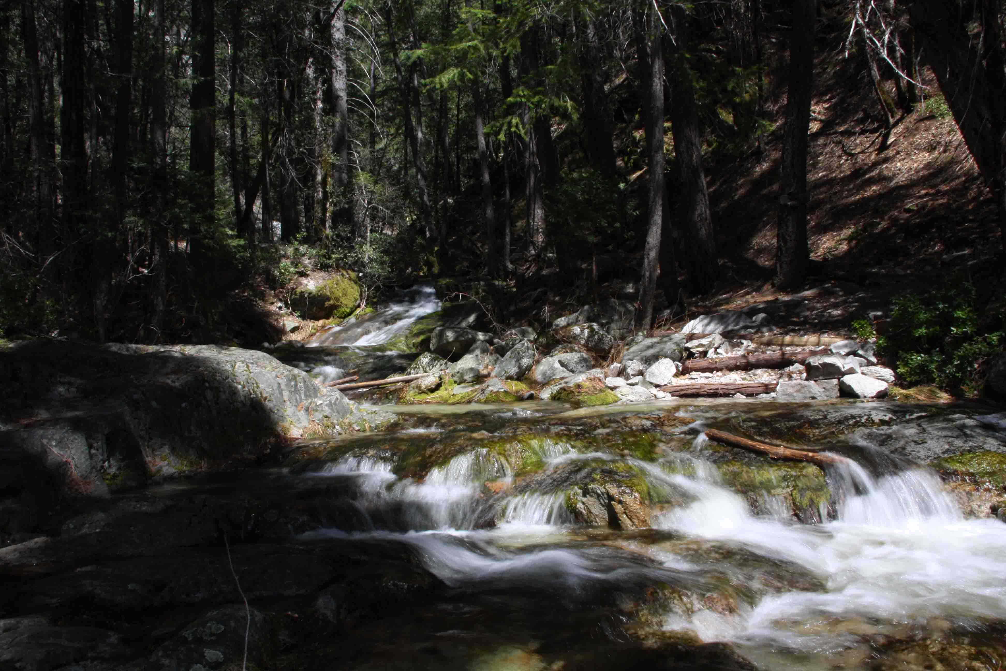
Hedge Creek Falls
Petey and I found a geocache hidden in a hollow tree near the Hedge Creek Falls trailhead before taking the short path down to a plunging waterfall that visitors could walk behind. We only made a quick stop here before heading to Castle Crags State Park. Just as I have found at most other California State Parks, dogs are not allowed on the trails, so I asked the ranger if there were any dog-friendly trails nearby.

Dog Trail
She pointed me a few miles down the road to a trail located in the Shasta-Trinity National Forest. Dog Trail which leads to Pacific Crest Trail is a 6 mile roundtrip hike that gains 900 feet in elevation, most of it in the first half-mile. Had I not known that the relatively level Pacific Crest Trail lead to a variety of lovely waterfalls, I may have turned around as the rocky, red dirt Dog Trail that angled straight up beneath little shade offered somewhat unappealing views.
Pacific Crest Trail
As we continued on, however, we reached a shaded trail littered with pine needles, Douglas fir cones, and live oak leaves. Countless lizards darted across our path and slipped into rock crevices as grasshoppers chirped, flies buzzed, butterflies flitted around, and birds flew from limb to limb. After almost two miles of hiking, we reached a few small streams where crystal water trickled down moss-covered rocks.


Another half-mile down the trail we reached the union of Burstarse Creek and Ugly Creek where white water glided over solid rock and required us to soak our feet in ankle deep water as we crossed its path. Here, as the trail climbed again, we were afforded a breathtaking view of Castle Crags and Burstarse Falls just across the canyon. The slender, long falls cascaded down a solid grey rock background. Unfortunately, the tree covered trail made it difficult to capture any good pictures of the falls, but the hike was rewarding none-the-less.


Due to starting a little late in the day, I passed by many folks returning from the falls including a couple that just got engaged and a man who asked if I was planning to hike all the way to the falls.
I said, “I plan to. Is it hard? Will I miss them?”
He said, “Well you have to go off trail to get to the base of the falls and it is steep and rocky. Having never been there before and being alone you probably shouldn’t.”
He was right. I didn’t even try. I would have had to guess the direction just by listening to the pounding spray, and I’m certain Petey and I would have been sliding down the slope. I’ll have to come back with someone else or earlier in the day as I can only imagine how spectacular it would be to enjoy the spray at the base of the falls. At least I got a good view from here.
Upon returning to VANilla, we called it a day and returned to the north to stay at the Yreka Wal-Mart again before spending the next few days completing a 400 mile drive in the shape of a backward C in what I am guessing is an area with little cell service. ETB
Map of My Road Trip Across the USA
For a summary about my road trip across the USA, click HERE. For the interactive map, see the below link.

Other Articles About Mount Shasta-Cascade Loop

Published by