
Day 157 of Year Long Road Trip Along America’s Scenic Byways
I watched the sunset from VANilla last night. It was very nice and a little bit of a surprise. I kept trying to catch an amazing sunset shot on the coast, but the colorful sky over the lava fields proved to be a better place for a picture. But more importantly…on to the morning.

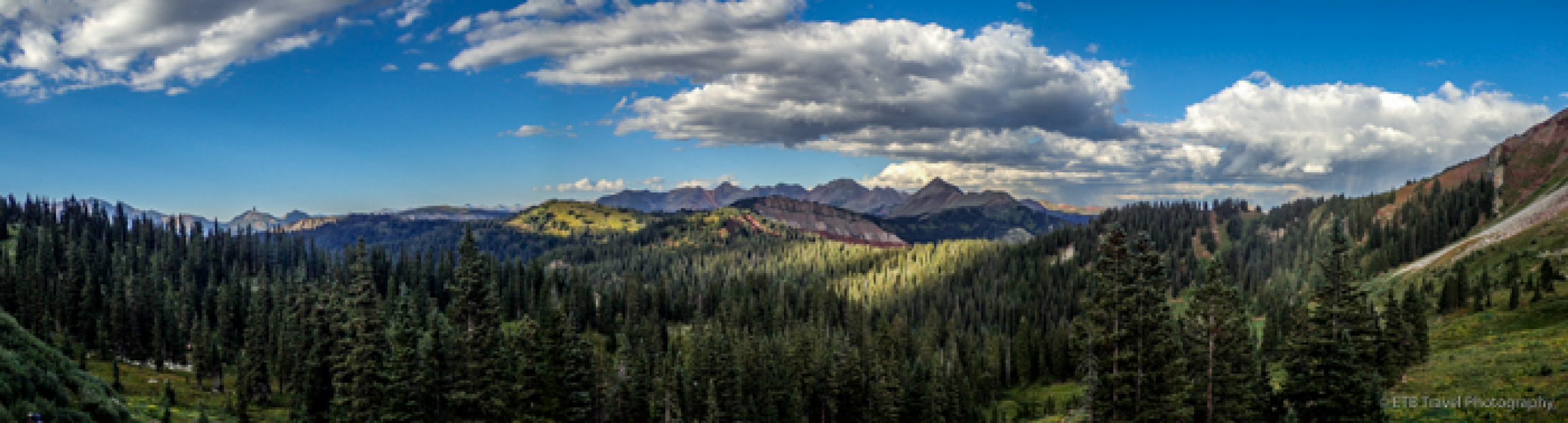
Caves at Lava Beds National Monument
A morning of caving…that certainly was a new experience. I’ve been in several caves, but it has either been with a guide or it was an extremely shallow cave where the opening could always be seen. The Lava Beds National Monument allows visitors to explore caves without any supervision…incredible!
I went into seven caves today and made it to the end of four of them. The two others were a little too long and dark for me to wish to continue alone especially with the option of more than one passage way and with virtually no one around to help if something were to happen.
Approximately half the caves were open today. The other half were currently home to bats that are sensitive to a bacteria that humans carry, thus the caves were closed off to protect the colonies. That worked for me, as I’m not certain that I would have been thrilled to find a bat while exploring myself.
Least Challenging and Moderately Challenging Caves
Of the caves that were open, I opted for the “Least Challenging Caves” and the “Moderately Challenging Caves”. The least challenging caves have a relatively high ceiling and smooth floors or trails, thus cavers may explore them while standing up. The moderately challenging caves require some stooping through low sections and negotiating rough, wet floors. While all the caves required two sources of light, these types of caves did not require knee pads, gloves, and helmets which were required in the “Most Challenging Caves”.
Big Painted Cave
After seeing all the signs posted warning to cave in groups or tell a friend where you will be, to carry two light sources and extra batteries, and to make note of the route taken into the cave, I chose a short cave first. Big Painted Cave was only 266 feet in length and was a site where Native Americans came for vision quests and other religious practices. The pictographs in the cave portray visionary images experienced during these spiritual quests.

Skull Cave
My next stop, Skull Cave, was named for the bones of antelope and mountain goats, bighorn sheep skulls, and two human skeletons discovered inside. It is a remnant of two very large lava tubes, one on top of the other which causes cold winter air to be trapped inside.
As a result, a year-round ice floor is created! This cave was 580 feet long and required lots of stair climbing to get down to the ice floor. It was so dark even with both my head lamp and flashlight on, that I could hardly see the ice floor. It’s one of the few times a picture is better than being there. On a different note, Skull Cave was also a virtual cache!

Merrill Cave
Next I stopped at Merrill Cave. It used to have an enormous ice floor that visitors used to ice skate on by lantern light years ago. It began melting in 2000 and now only remnants of ice may be seen. I didn’t see any remnants and think the visit to this cave could have been skipped…just my personal opinion.

Golden Dome Cave
Moving on we stopped at a few caves on Cave Loop Road, including Golden Dome Cave and Sunshine Cave. I climbed down the ladder, dodging “Headache Rock” to the floor of Golden Dome Cave which had passage ways going in opposite directions. According to the pamphlet, the back section where the golden dome is located is a figure 8 pattern. As a result, it warned to pay close attention to your location as to not walk in circles. Given I didn’t know which passage way
would lead me to the dome and the possibility of circling in the dark seemed a bit unnerving to me, I promptly returned to the ladder and exited the 2,229 foot cave. The gold in the dome is the result of light reflecting off water droplets that bead up on a coating of hydrophobic bacteria which is evidently harmless to human. This gold could also be found in the Sunshine Cave, so I stopped there next.
Sunshine Cave
I think the Sunshine Cave may have been my favorite cave to explore. A chipmunk greeted me at the cave entrance where I wandered into the tunnel. Two collapses in this cave allow sunlight to enter which causes vegetation to grow. I probably liked the cave because I could see a little better than in some of the others where the only area I could see was within about five feet of my shining light. Also the flooring was natural – no ladders or pathways. While I had hoped to see some icicles as well, but they are only present in the winter. I had to work at reaching
the end. I almost ended up on my hands and knees to crouch below a low hanging area before entering a small cavern with hydrophobic bacteria. I lost my balanced as I crouched to almost a seated position on my heals and did a little pinky finger slicing on the sharp lava rock. I was trying not to touch any of the rock to protect the cave and of course to keep from accidently sticking my hand in bat or rat dung. All in all, however, I survived.


Indian Well Cave
Continuing south, I stopped by two more caves before leaving the park. At the entrance of Indian Well Cave, I was greeted by a tailless rat (if those exist), so my visit didn’t last long. I have later since found out it was a pika. The ceiling was extremely high and the floor very low, so it was like being in an enormous cavern. I stood on a side ledge and looked down into the cave. The path down to the floor looked rocky and steep, and I didn’t see any unusual ice formations that can be found in the winter, so I left, as it didn’t look interesting enough for the work involved.

Valentine Cave
My final stop was the park’s best cave. Valentine Cave, 1,635 feet long, was discovered on Valentine’s Day in 1933. The cave has large main passages, yes plural, passages. At first I took the passage to the right. I thought, if I always stay to the right, I could reverse my route easily, until I saw more passages that were lower and smaller. So, I decided to go to the left. I slowly stepped on the wet floor as I shined my light all around to keep my bearings, but it is truly amazing how different the cave can look from the opposite directions.
Once I got deep enough into the cave where I could no longer see light coming from the entrance or light coming from another area, I could feel my adrenaline jump up a notch. I really wish someone else were with me because I really wanted to go all the way to the end, but it would have been rather cavalier of me to go alone with Petey stuck in VANilla.

McArthur Burney Falls Memorial State Park
Anyway, the morning was definitely a new experience for me. This afternoon I ended up at McArthur Burney Falls Memorial State Park. The main attraction at this state park was Burney Falls, and it was magnificent. I waited to take the 1.2 mile loop trail until after I took Petey for a 1.6 mile walk to a Lake Britton along a wide path that led us through a pine forest. It was the only dog friendly trail in the park and somewhat anticlimactic to arrive at a brown lake with a nutria swimming by. I’m glad I saved the waterfall trail for last.

As I followed the paved trail down toward the base of the falls, I felt the cool spray of the 129 foot falls. 100 million gallons of water surge over the falls each day, yet just a mile upstream from the falls, Burney Creek is dry in the summer. The water first travels underground. The snowmelt from Burney Mountain seeps through cracks in the top layer of rock and gathers in underground stream channels. The water flows through the channels until it reaches solid rock where it is forced upward to the surface, flows down Burney Creek and then over the falls into a 22 foot deep pool below. The water temperature is between 42 to 48 degrees, and the falls are nesting place for the Black Swift. I plan on visiting the falls again in the morning light. ETB


Map of My Road Trip Across the USA
For a summary about my road trip across the USA, click HERE. For the interactive map, see the below link.

What a thrilling day!! Jennifer
Great sunset photo!
Caving would really “creep” me out, but I’m glad you enjoyed it. Maybe I could explore one cave if I had a buddy with me. You were brave to “go it” alone.
Miss you…xo’s Mom
you had a great day…great photos