
Day 274 of a Year Long Road Trip Along America’s Scenic Byways
I left the mountains and headed for the coast this morning. We took a brief drive through La Push, Washington for a view of the harbor before returning to Second Beach, one of many beaches in the Olympic National Park which seemed to encompass the entire western peninsula of Washington. I really can’t imagine basking in the sun on Second Beach.

Second Beach
It requires a ten to fifteen minute walk along a trail which winds through the rain forest before visitors can even set foot on the beach. Aside the trail is a fallen tree with a root system that has been turned into a shrine. Rocks, shells, coins, marbles and even a bottle were placed in the tangled roots to the south of the trail.
At the end of the trail, beachgoers are greeted with piles of drift wood that must be climbed. Given I just impaled myself on a log which resulted in a 6 inch gash, crossing several logs was slightly disconcerting. At least they were smooth.
Finally, I reached the beach and walked toward the outcropping of rocks during low tide. I found several orange and purple starfish along with a few green anemones clinging to the rocks in the tide pools. The crab and octopus eluded me on this adventure, but I did follow a seagull around that did not want me to get to his piece of seaweed or whatever object he felt was very important. He hopped along the beach until I got too close and then lifted into flight to land a hundred feet away only to repeat the process once more until I snapped a decent photo.


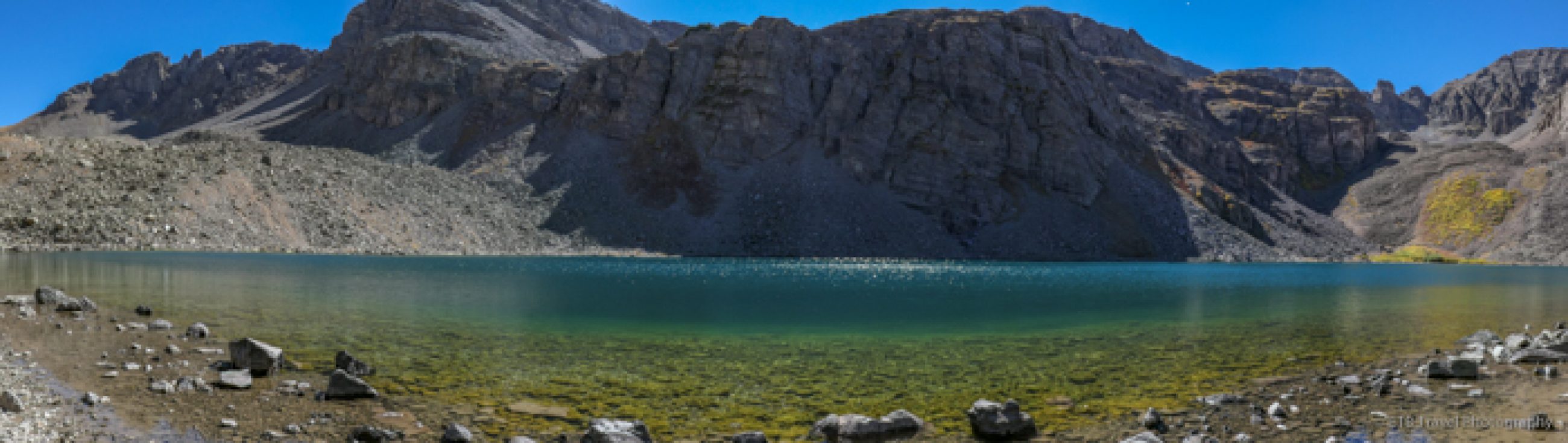
Hoh Rain Forest
From the beach, we turned southwest to the Hoh Rain Forest, also part of the Olympic National Park. The Hoh is one of the best examples of a temperate-zone rain forest in the world, and is one of the few coniferous ones in existence. I took the Hall of Mosses trail that wound beneath the shade of enormous trees covered in thick, hanging moss.
Ferns as well as a variety of other plants blanketed the forest floor as woodpeckers poked at rotten trees. I had hoped to spot the elusive Roosevelt Elk, though it didn’t seem like an easy feat in the jungle of vegetation. I couldn’t help but think what this forest would look like in a few weeks with some of the leaves changing colors…I bet it is magnificent!


Ruby Beach
From the forest, we followed the Hoh River back to Highway 101 where we turned south toward Ruby Beach, so named for garnet crystals that give the sand its pinkish hue. I walked north on the beach where a river and the coast meet to find a lot of rock, not of pinkish color, and no garnets. This area of rock formations and drift wood seemed more interesting to me and all the rest of the beachgoers. Perhaps the pinkish sand was to the south.
As the white capped waves crashed on the shore, it appeared as if the tide was coming back in, so after a brief visit, I rejoined Petey in VANilla. Ruby Beach was actually a dog friendly beach, and I considered taking him, but I presumed someone would fail to abide by the leash law which would end up with me trying to keep a sometimes mean Petey away from a bounding dog. I was right. As soon as I set foot on the trail to the beach, I was greeted by a free roving dog. I must say that is SO irritating, and I like dogs! I feel sorry for those people that are afraid of them.


Queets Valley Rain Forest
Turning slightly inland, I headed to Queets Valley Rain Forest. My Reader’s Digest book mentioned a three mile loop hike through the rain forest which starts from a campground located at the end of a fourteen mile unpaved road. With less commotion, there would be an easier chance to spot the shy-natured Roosevelt Elk. Well, I drove ten miles to find the bridge was closed to motor vehicles. I certainly wasn’t hoofing it with Petey the rest of the way.

Lake Quinalt
We turned around and aimed for a campground at Lake Quinault. On the way, we found another road into Queets Valley Rain Forest, so we explored it for several miles until it started splitting into a variety of directions. We retraced our short tour in VANilla and finally followed the north shore of Lake Quinault to what I had hoped to be a nearby campground.
The road turned from paved to dirt and from two lanes to one lane as it squeezed between enormous trees until we finally reached a split: one direction to a campground and the other to the south side of the lake. For such a large lake that was supposed to be one of the most popular recreation spots on the Olympic Peninsula, the campground seemed very far removed. I passed up the turn to find three of the next four campgrounds on the south shore closed for the season!
By this time, I had driven around so much, I thought I may as well drive another hour to Wal-Mart, so I did! ETB
Map of My Road Trip Across the USA
For a summary about my road trip across the USA, click HERE. For the interactive map, see the below link.

Other Articles About Washington You May Like
Shop
Check out the photographic note cards and key chains at my shop. Each card has a travel story associated with it. 20% of proceeds are donated to charity.

Great pics! Love the sea creatures 🙂