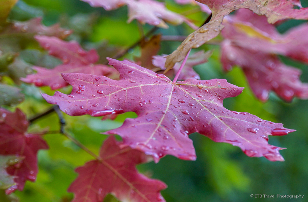
Mill Creek Canyon
Mill Creek Canyon, located just east of Salt Lake City in the Uinta-Wasatch-Cache National Forest, is an extremely popular hiking destination. Not only is it popular for its proximity to the city, it is also attractive to dog owners as it is the only dog friendly canyon in the area. Much of the Wasatch Mountains is restricted to dogs because over 60% of Salt Lake City’s drinking water comes from the watershed, and therefore must remain clean.
While dogs are allowed in Mill Creek Canyon every day and off leash on odd-numbered days, bicycles are only allowed on even days. As such, most everyone may enjoy the network of nearly 100 miles of trails that interconnect, creating all sorts of hiking options. There is a $3 daily use fee which is paid at the station upon exiting the canyon or an annual pass may be purchased for $40. Despite being located in a national forest, the Forest Service does not accept the National Parks Pass for Mill Creek Canyon.
During my three-week visit to Salt Lake City, I explored three different trails in Mill Creek Canyon, one rated as moderate and two rated as strenuous. Had I wanted an easy trail, I would have had only one option according to my hiking guide, 60 Hikes Within 60 Miles of Salt Lake City. Admittedly, the trails in this area climb rather steeply while excluding mitigating switchbacks.
The three trails I hiked were Mount Aire, Grandeur Peak, and Lambs Canyon Pass. Of the three, I preferred Lambs Canyon Pass due to its variety of vegetation and its moderate grade relative to the others.
Mount Aire
The hike to Mount Aire begins at Elbow Fork Trailhead off Mill Creek Canyon Road. The 3.8-mile roundtrip to the peak is short, but steep as the climb begins at 6,686 feet and ends at 8,673 resulting in over 1,000 feet of elevation gain per mile.
Hikers follow the Elbow Fork Trail for 0.2 miles through Gambel oak until it reaches a fork. The Mount Aire Trail veers to the left while the Lambs Canyon Trail goes to the right. The Mount Aire Trail follows the creek up a shaded canyon until it reaches a saddle with views of surrounding peaks and Salt Lake City beyond.
At the saddle a faint trail leads to the left while a more trafficked path leads to the right. The path to the right follows switch backs up to Mount Aire’s rocky peak. At a slow and steady pace, the summit may be reached in 1-1.5 hours, though many locals use this hike as a training run.


Grandeur Peak
Grandeur Peak may be approached from two directions either via the Western Ridge or via Mill Creek Canyon. I had time for a short hike, so opted for the shorter, yet steeper Western Ridge trailhead. In addition, hiking from the west is free, while hiking from Mill Creek Canyon costs $3. Not being a Utah resident with a $40 yearly pass, being nickled and dimed $3, though cheap, is slightly annoying for several hikes during the week.
Perhaps the 6.8-mile route via Mill Creek Canyon has more “grandeur” than the 4.4-mile route via the western ridge. I found this hike to be nothing more than an uphill slog in the sun. It’s no wonder the few people on the trail were runners in training, not leisurely hikers. The prettiest part of the path was at the beginning, where sunflowers skirted its edge.

Thereafter, the trail splits and hikers must figure out which way to go. The steepest route looked the most traveled, so I took this middle trail which turned out to be correct. Whoever designed the route lacked the knowledge of switchbacks! The path follows the direct line of the ridge with a constant view of Salt Lake City behind.

The trail briefly levels off atop the false summit before it dips to the right and then climbs to Grandeur Peak complete with a geomarker. The peak provides a panoramic view of Salt Lake City, of a mine, and of the Wasatch range, but after climbing 3,300 feet in 2.2 miles, I’d expect rewards a little more grand like views from a Colorado 14er.


I should have taken the reviews on AllTrails more to heart. Most everyone said they would not be doing this hike again. Me either!
Lambs Canyon Pass
Lambs Canyon Pass may be reached from two trailheads. Lambs Canyon Trailhead is located in Lambs Canyon while Elbow Fork Trailhead is located in Mills Creek Canyon. Dog owners will want to approach the pass from Elbow Fork Trailhead as they are not allowed on the other side of the pass. Meanwhile, those who wish to avoid the $3 fee to exit Mills Creek Canyon should hike the trail from Lambs Canyon Trailhead.
The out-and-back hike from Lambs Canyon to the pass is 4 miles. The distance from Mills Creek Canyon is slightly shorter. With a shuttle car, it is also possible to complete an approximately 4-mile point-to-point hike. Just don’t bring the dog.
From the Lambs Canyon Trailhead, the trail climbs approximately 1,500 feet through a forest of aspen, fir, and spruce with substantial undergrowth including raspberry bushes and Gambel oak. Though I suspect this is a nice hike when the fall colors appear, it felt more like a training trail especially as I stepped aside for about twenty runners in a local race.
The top of the pass provides limited views of surrounding peaks and Salt Lake City below. Due to the variety of vegetation on the trail as well as a more gradual ascent relative to the other hikes I took in Mill Creek Canyon, I found this one to be the most enjoyable despite obstructed views at the top.


Overall, while Mill Creek Canyon is a popular hiking destination among locals, as a visitor, I preferred other nearby areas including Big Cottonwood Canyon, Little Cottonwood Canyon, and American Fork Canyon, the latter also being dog friendly.
OTHER ARTICLES YOU MAY LIKE ON HIKES NEAR SALT LAKE CITY
SHOP
For notecards and key chains, visit My Shop on this website.


Published by