
Goose Creek Falls is located in Payette National Forest near McCall, Idaho and the Brundage Mountain Ski Area. There are a few ways to hike it, one hike is 5.8 miles round-trip and another is 3 miles roundtrip. We were going to take the longer way, but after seeing a couple of mediocre reviews on AllTrails, we took the shorter route.
After having been there, I’m uncertain how this hike could be called “boring”. We loved it! We began on a soggy Wednesday morning around 10:30. Only two others were in the large parking area with a pit toilet when we arrived. Perhaps the snow/rain mix for the previous five days had something to do with it! Regardless, it was great to have Dom and Sue join me on my road trip adventure for a few days.
The Hike to Goose Creek Falls
Goose Creek Falls Trail begins by descending through the forest. With the dense fog, mossy trees and lush vegetation including a smattering of trilliums and mushrooms, it reminded me of the Pacific Northwest. I never considered West Central Idaho as part of the Pacific Northwest, but by the looks of this hike, it could be.


Anyway, Goose Creek Falls Trail descends 685 feet in 1.25 miles to a bridge which spans the raging creek. After crossing the creek, hikers can go left or right. The falls are a ¼ mile down to the left. We stopped here first. It was tough to get a decent photo, but it was pretty, none-the-less.


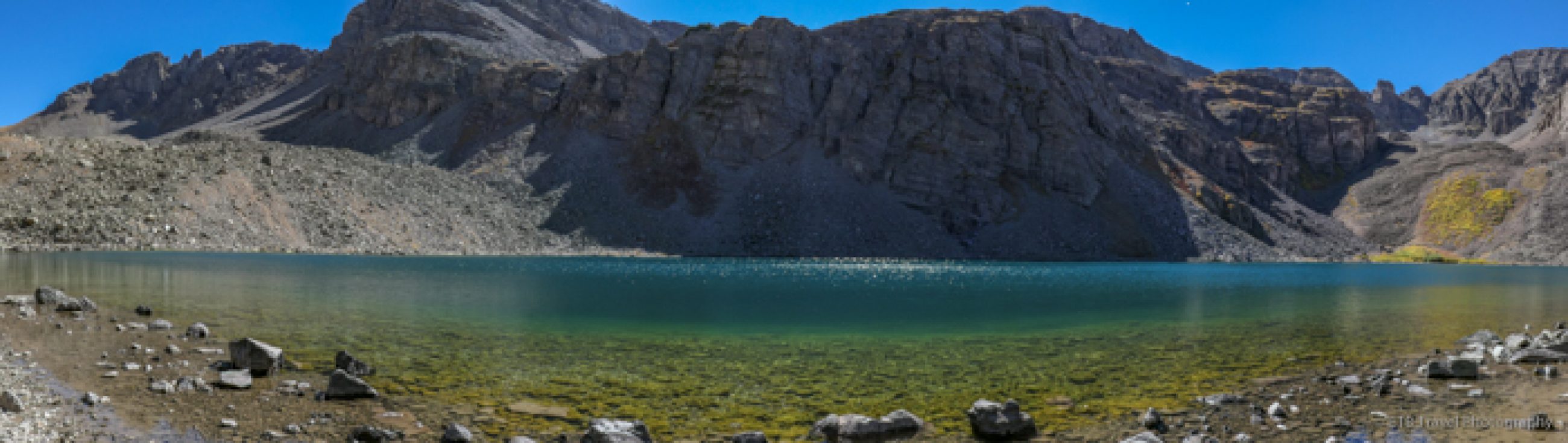
We hadn’t felt like we had been hiking long enough by the time we reached the falls, so we retraced our steps and then took the right turn from the bridge. Here the trail ascends two miles to Brundage Reservoir. Our waitress at the Shore Lodge, Shannon who was passionate about hiking, suggested it. It wasn’t quite early season hiking material, but definitely fun and adventurous.
The Hike to Brundage Reservoir
We passed between mossy boulders, hopped over some low water, muddy spots, climbed over fallen trees, and post holed through some knee deep snow until we couldn’t find the trail anymore. I think we missed the reservoir by ¾ of a mile, but we weren’t certain.


Since we hadn’t truly planned on hiking that way, we didn’t download the map. With soaked shoes and the obvious way buried beneath the snow, we went as far as we felt comfortable before turning around. I will have to return later in the summer, when the reservoir is reachable, though based on google maps, it looked like we could drive there.
The hike back up from the bridge was steeper than we remembered from the descent, so when we thought we were close to the hanging heart, just around the corner from the parking area, we still had a good 15 minute climb! Oh well, all in all, it was a good day out with friends Goose Creek Falls Trail, and we left the afternoon for fun things to do in McCall. ETB

Other Hikes in Idaho You May Like

Pretty scenery and the hanging ❤️ is so cool!