
Many thanks to my friends, Harlow, Erin, Brian, Justin, and Kristin for getting me one step closer to my goal of hiking the entire Colorado Trail or should I say 30K+ steps closer according to my fitbit.
Getting to Segment 2 of the Colorado Trail
I took a tip from my friend Jim and planned for three of us to hike the trail in one direction and three of us in the other, so we had cars at both ends of Segment 2, the next section I planned to tackle. As such, at Harlow’s suggestion, we met at the Twin Forks PNR on 285 to trade vehicles so that we would end up with our own cars at the end. Given Erin, Brian and Harlow drew the downhill direction, they would finish before us and this way we didn’t have to try coordinating at day’s end.
The South Platte River Trailhead, while it looks somewhat close to Denver on the map, is a good trek away. From 285, Kristin, Justin, and I exited on Foxton Rd. just past Conifer, drove 8 miles, took a left on 96 and continued 5.5 miles to the boarded up South Platte Hotel.
The South Platte Hotel
The South Platte Hotel was one of the first stops on the Denver, South Park & Pacific Railway for those going to the mining town of Nighthawk. The hotel operated until 1934 when it was shut down after its owners passed away and the railroad business died. Now, though boarded up, the hotel is part of a Denver Water Research Project. Across the bridge and about a 1/2 mile further down the road, we arrived at the Gudy Gaskill Bridge and the beginning of Segment 2 on the right hand side.


Water Source on Segment 2 of the Colorado Trail
For any through hikers, get water from the river at the trailhead, as this is the last time water is available until emergency water may be found in plastic jugs 10 miles into the trail. Also, according to the guidebook, no camping is allowed near the river, though at the trailhead the sign was covered by a strip of tape which warned, “no camping” anywhere.
We began the hike by crossing the bridge, turning right to drop down to the Colorado Trail, and then turning right once more beneath the bridge. From here we followed switchbacks up the mountain. Perhaps I should have focused on the guidebook description more closely. For some reason, I was expecting a somewhat flat hike, but we continued to climb for the first five miles.
Five Mile Ascent
It was a gradual climb, 1,600 feet over 5 miles, but Justin tends to go faster uphill because he “wants to get the ascent over with”. The only thing that goes faster for me when I go uphill is my heart rate! The rising path took us briefly through pine forest before we reached an abandoned quartz mine and the beginning of the Buffalo Creek Fire Area.
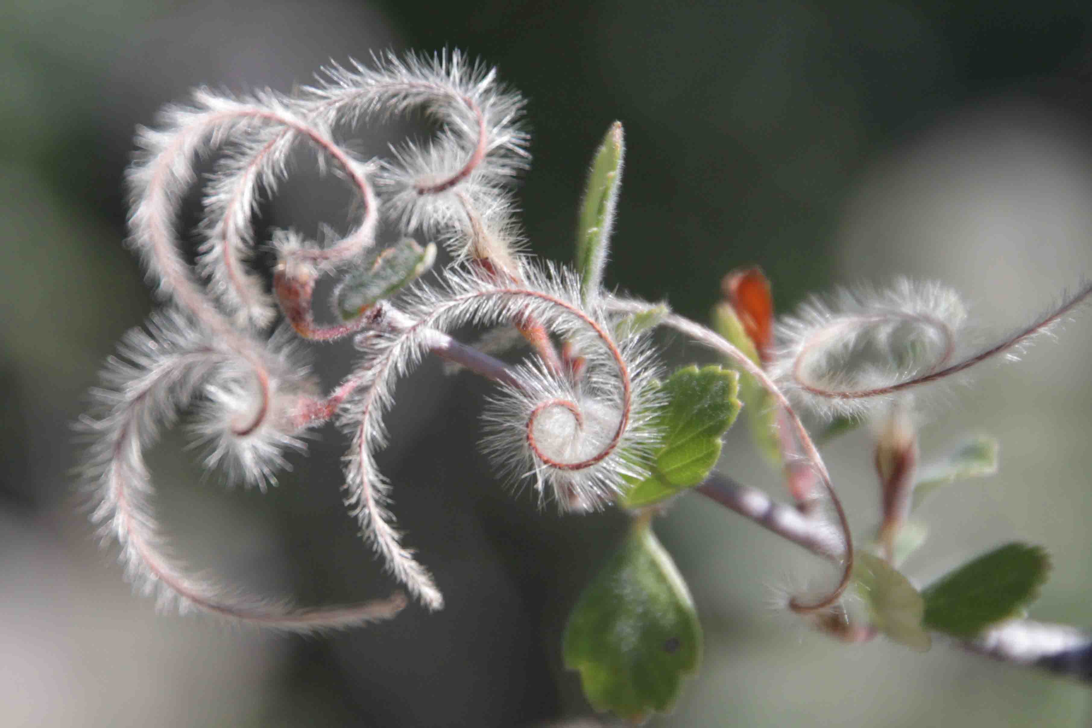
The devastation has left the surrounding area somewhat barren with virtually only undergrowth returning on the crumbled granite, though it offers expansive views of rocky outcroppings. The paintbrush wildflower, yucca, a few prickly pear and buckwheat seemed to thrive on the dry terrain. We found the Colorado Trail marker on a tree stump as no trees have regenerated.


After a mile or so, we entered the shade of the forest again. I was actually surprised to find as much shade as we did as I had read the trail was HOT and sunny. We were fortunate to hike on a 73 degree August day?!? How pleasant!
Lunch With a View
We continued a few more miles up to the trail’s peak where we found Brian, Erin and Harlow. They had just enjoyed the views from a cool rock outcropping. We were just over five miles into the 11.5 mile segment, so we snacked on our lunch at this spot too! The rock formations which we shared with caterpillars, some crawling about and some tucked in their cocoons, were awesome. The view of the lone house on the mountain across the way was lovely. And the cool breeze didn’t hurt either. What a nice way to eat a peanut butter sandwich!


The Second Half
After lunch, the trail mostly leveled out, losing about 150 feet of elevation over the next 5 miles and gaining a few hundred feet the last mile. We enjoyed the shade of the pines for a short while before entering the burn area again. This time the area appeared even more sparse and warm. Only burnt trees, grass, and rocks filled the view.
We finally ran into our first mountain bikers on the trail. I think it ended up being only four in total which seemed low for a Sunday, but it was the final day of the USA Pro Challenge, so perhaps the cyclists were cheering on the pros in Boulder and Denver. We eventually crossed paths with a few hikers as well. One was a runner wondering when he’d be getting to the shade.


It wasn’t until we reached the emergency water just before County Road 126 where we found the shade again. We crossed our final road (there were two others, but well marked) where the path widened from single track to a dirt road. We remained in the shade for the next mile as we climbed to the active parking lot full of horse trailers and cars with bike racks.
It was a great hike. While clouds rolled in, the rain held off. In addition, I got a good work out with Justin’s fast pace. Not counting lunch, we covered the entire 11.5 miles in four hours. As we said our good-byes, I mentioned, “I feel like I’m covered in dirt”. I think my toes which were in socks and trail shoes proved it. Until my next segment…ETB!


Other Articles About the Colorado Trail You May Like
The Colorado Trail in Its Entirety

Sounds like you had a great day!