
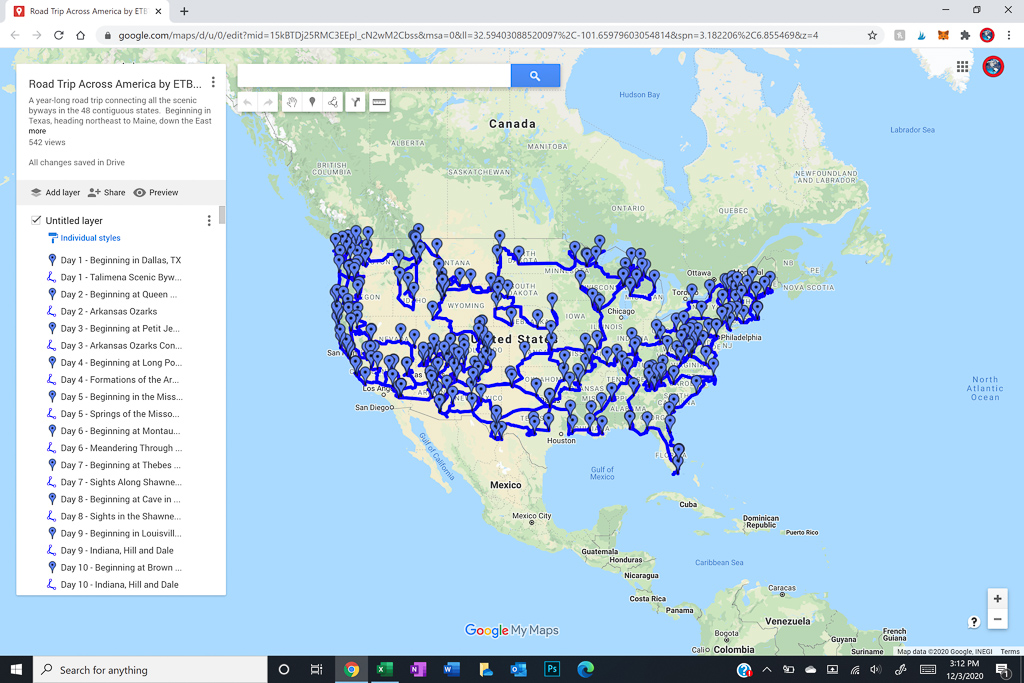
The below map tracks my road trip along America’s scenic byways. It shows the general path, but is not exact.
The Plan
When I set out on this journey, my plan was to minimize driving on Interstates while connecting several scenic byways across the lower 48 states. In addition, I wanted to avoid snow, to visit my parents for Christmas, to spend my 40th birthday in California with some friends, and to connect with some others traveling to Colorado in June.
The Journey
As a result, I began in September of 2010 heading northeast toward Maine to enjoy the fall colors. Thereafter, I turned south down the east coast and returned to Dallas for Christmas through the Super Bowl which was held in the metroplex that year. During this time, I lost my lab, Scout, of 13 years, though my dobie, Petey, made the entire journey.
ON THE ROAD AGAIN!