
Much to my dismay, aside from hiking the Wild Pacific Trail in Vancouver, trekking this summer eluded me. Fortunately, however, on my way to Maryland for a horse show, I stopped to stretch my legs with my dog Annie on the Dam Mountain Trail in Lake Catherine State Park.
Lake Catherine State Park is located outside of the popular resort City of Hot Springs in the forest-clad Ouchita Mountains. The 2,240 acre park offers many outdoor activities including camping, fishing, water sports, hiking and horseback riding.
With the majority of the campsites on the lake shore, camping and water activities including fishing, party barges, canoeing, kayaking, water biking and pedal boating are the biggest draw.

Table of Contents
Dam Mountain Trail
That said, the trailhead by the campground features three trails marked with red, yellow and white blazes. Annie and I chose the 3.5 mile Dam Mountain Trail which gains just 405 feet along the lollipop loop. It is marked with a white blaze which is important to remember at the creek crossing!
All Trails ranks the hike as moderate and based on some of the reviews it sounds accurate for locals. But any experienced, high-altitude hikers will find the path which peaks around 650 feet to be easy.
Hike to Falls Creek Falls
The path begins by following the lake shore, crossing a picturesque bridge, and passing through a forest of trees whose leaves were just beginning to turn yellow with the coming of fall weather. The trail continues along the creek until it reaches Falls Creek Falls, a beautiful cascade and popular swimming hole. With the stream flowing over the grey rock face, and the waterfall being very accessible, this is a very instagrammable site.


Surprisingly no one was there when I arrived at 8 am on a weekday morning in September. After admiring the falls, I continued following the main trail which switches back up the mountain. Upon my cursory glance at All Trails, I didn’t remember the loop going to the right, so I rechecked my phone and realized I briefly had gone off course by following the most traveled path marked with only a red blaze!


The Climb and View
Previously, both white and red blazes indicated the path. The Dam Mountain Trail actually crosses the creek to the left at the top of the waterfall. I did not see any blazes marking the path at this point, so I was grateful for the All Trails app.
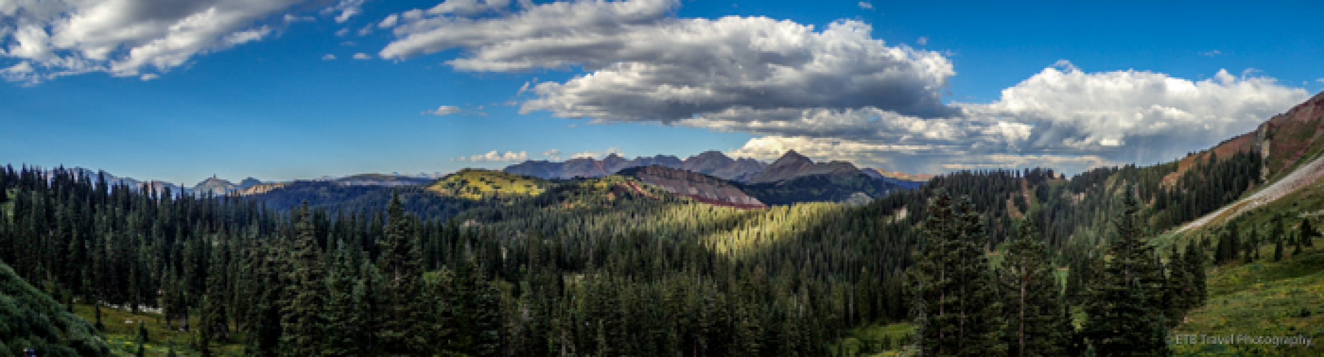
The loop on the Dam Mountain Trail starts after crossing the creek. You can go right or left. I went right and hiked the loop counterclockwise. There are pros and cons to this direction. The ascent in the counterclockwise direction climbs through the forest behind the hill which blocks any breeze from the lake. Though slightly less steep, it was like walking through a sauna with lots of mushrooms enjoying the moisture! That said, once you reach the top and cross over to the other side you are rewarded with a cool breeze and lake views, all be it with a power plant in the picture.

Power Plant History
At least the power plant has some history to it. The Remmel Dam and its hydroelectric power plant was constructed in 1924 to provide power to southern Arkansas. Harvey Couch with the Arkansas Power & Light Company secured the building permit with the help of his friend H.L. Remmel who connected him with the Secretary of War, John Weeks. He named Arkansas’ first hydroelectric dam after his friend, and the lake after his six year old daughter, Catherine.

While nature is my biggest draw, it is always fun to learn the history of a local area. Lake Catherine State Park has a lot of history as the CCC established a 250 man camp here during the depression in 1938 and constructed many buildings and the access road.
I was pleasantly surprised by my visit to Lake Catherine State Park. The park was lovely and the Dam Mountain Trail hike was a great fall hike near Hot Springs, Arkansas. ETB
Like It? Pin It!

Published by