Happy Hiking: Watson Lake

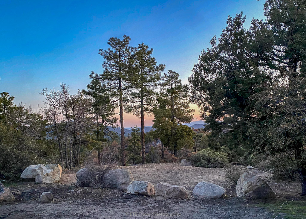
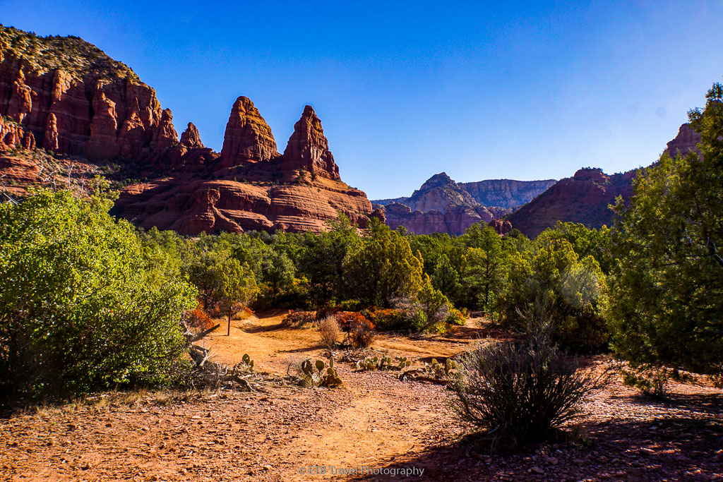
After a long uphill hike yesterday on Granite Mountain Trail, I planned a short 4.5 mile loop on the Watson Lake and Flume Trail.  Watson Lake is located at Watson Park right off Highway 89 which is a scenic drive to Sedona. 

Both Watson and Willow lakes were created as reservoirs by the Chino Valley Irrigation District.  Each resulted after the damming of Granite and Willow creeks, in 1916 and 1935, respectively.

The City of Prescott purchased the lakes and the surrounding land in 1998 for $15 million in a widely supported bond election.

The Watson Lake is popular among hikers, camper, wake free boaters, and bird watchers.  Additionally, the ecosystem attracts many waterfowl and shorebirds migrating in the winter.

HAPPY HIKING!

Happy Hiking: Granite Mountain

After a lovely night on Thumb Butte Road, the following morning Annie and I drove to Granite Mountain Trail about half an hour north.  Along with Thumb Butte Road, Granite Mountain Trail is located in the Prescott National Forest.  Granite Basin Lake is nearby, so there are a variety of parking areas for the beaches and boat launching. There is also a parking area with bathrooms at the trailhead as indicated by AllTrails.

Granite Mountain Trail

The trail begins in forest which was appealing to me.  I prefer evergreens over cactus and scrub.  Annie enjoyed it too, once again running around like crazy.  Sometimes I wonder how she can have so much energy.  She exhausts me while I attempt to exhaust her!

HAPPY HIKING!
sunrise from my campsite on Thumb Butte Road

Happy Hiking: Thumb Butte

After my visit to Sedona and Camp Verde, I traveled south to Prescott.  I swung through briefly ten years ago on my year long road trip around the USA, and wanted to revisit.  Thanks to a National Geographic guide I met on a Mongolia trip, I had insider’s information on where to camp.

Camping on Thumb Butte Road

Liam, who went to college in Prescott, suggested I camp anywhere on Thumb Butte Road.  It is just outside of Prescott and was a great suggestion!  Small, designated pullouts lined the potholed dirt road.  And it was just steep and rutty enough to keep the big rigs out.

HAPPY HIKING!
two nuns on chapel trail

Happy Hiking: Chapel of the Holy Cross

While in Sedona, I hiked the Bell Rock Pathway and the Airport Mesa Viewpoint which are the locations of two of the four earth vortexes.  I had hoped to also get Cathedral Rock into the mix, but luck wasn’t going my way Monday morning. I ended up at Chapel of the Holy Cross.

I just wanted to do two short hikes today, before attending to VANgo’s needs (a water tank and propane fill) and picking up groceries.  As a result, I began the day by driving to the parking area for the 1.2-mile hike to Cathedral Rock, as indicated by AllTrails.

HAPPY HIKING!

Happy Hiking: McDonald Trail

When I stopped by the Camp Verde Visitor Center to check out the museum, Lynette greeted me with a wealth of knowledge.  She wanted me to have a map. I pointed to the map in my hand, and I said, “I have this one.”

She replied, “That’s the trails map.  Here is the other.”

While there, I learned lots of things about Camp Verde, but also, that the McDonald Trail features a bunch of Indian Ruins.

HAPPY HIKING!
view from copper canyon loop trail #504

Happy Hiking: Copper Canyon Loop

Having lots of flexibility has spoiled me, and I do my best to skip weekend hiking and only go during the week when it is more peaceful.  The exception is when I hike with friends who only have the weekend off.

With two days of bad weather this week, however, I had an itch to get outside.  After having hiked near Camp Verde and near Sedona, I noticed the crowds didn’t exist in Camp Verde.  As a result, I took a weekend hike at Copper Canyon Loop Trail #504 that I found on the AllTrails app.

HAPPY HIKING!