idaho state sign challenge

State Sign Challenge: Idaho

State Sign of Idaho

After spending two weeks in Arizona, I never found the state sign.  I think the only one might be at the four corners.  Upon entering Idaho, however, I stumbled across it’s state sign after passing through Jackpot, Nevada.  Annie and I dressed up as ketchup and French fries, because of the Idaho potato, the state vegetable.  I probably should have worn my red parka to make my costume better.

VISIT IDAHO!
bike path on sun valley road

Top Things To Do in Sun Valley

The History of Sun Valley

Sun Valley is a small city located in Blaine County, Idaho.  But the term “Sun Valley” is more widely used to describe the surrounding region including the Sun Valley Resort, the ski areas of Bald Mountain and Dollar Mountain, the nearby City of Ketchum, and the Wood River Valley which extends to Hailey and Bellevue.  It became popular in the 1930’s when the likes of Ernest Hemingway and Gary Cooper frequented the area.

Prior to tourism, the area was a thriving mining and smeltering community.  After mining operations subsided, the area turned to sheep herding.  With the arrival of the railroad, the Sun Valley resort opened, and the area has been catering to tourists ever since.

I only spent a limited amount of time in Sun Valley and the surrounding area ten years ago while on a yearlong road trip in VANilla.  I have now returned in VANgo and really enjoyed staying in and exploring the area.

EXPLORE!

Happy Hiking: Homestead Trail

Many people have asked me how I decide where to go while on my road trip in VANgo.  Generally speaking, I’m going in search of 70 degree weather, wildflowers, and fall color in autumn.  Today, in the second week of May, I found those wildflowers at Homestead Trail.

Homestead Trail is located only 7 miles from Boise in the Boise National Forest, better known as the Boise foothills on the outskirts of the city.  The trailhead is found in a residential neighborhood.  The area very much reminded me of the foothills surrounding Golden, CO, though not as crowded.

HAPPY HIKING!
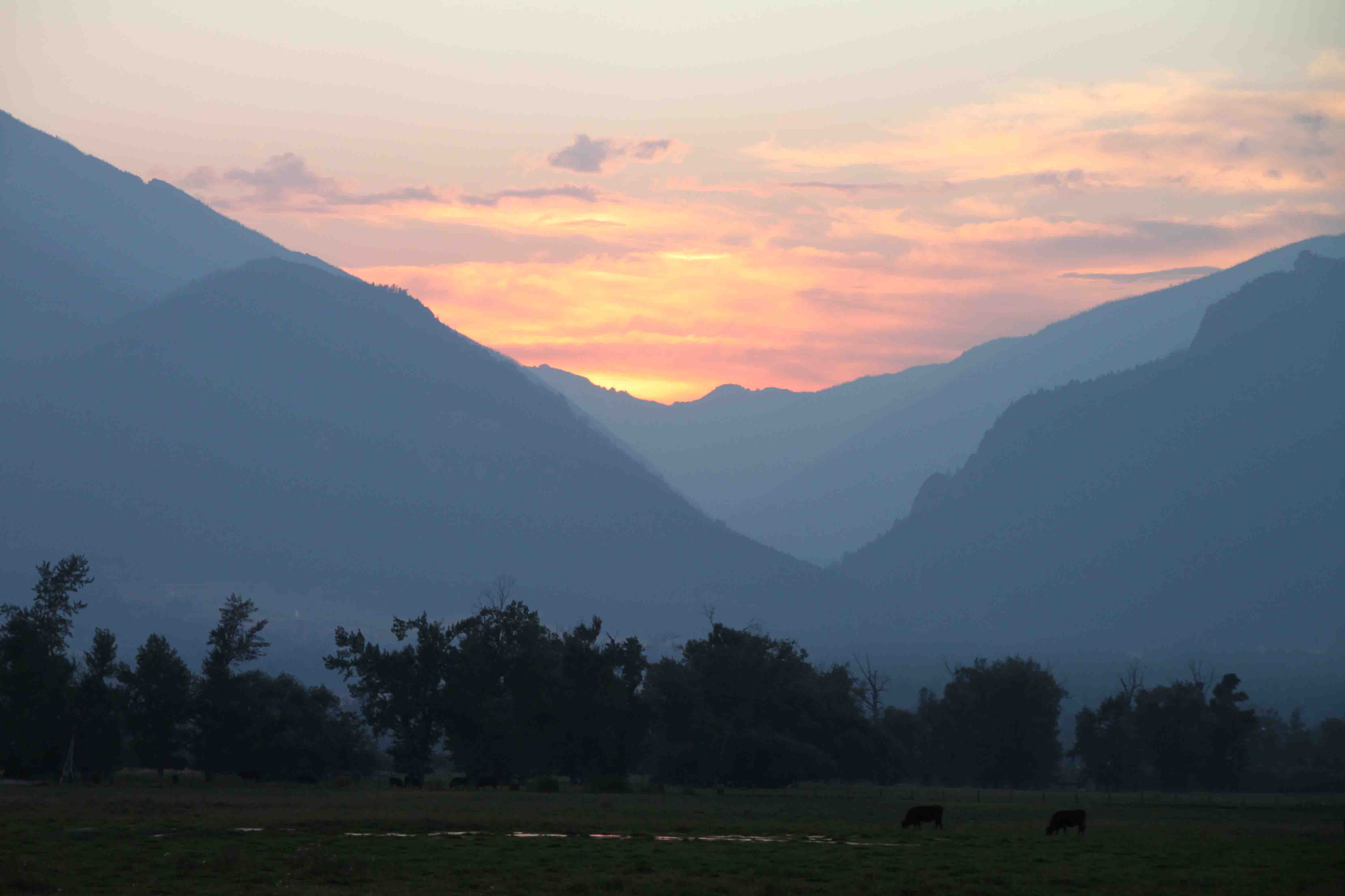
sunset on the way of missoula

Day 257 – Salmon – Bitterroot Country

Day 257 of a Year Long Road Trip Along America’s Scenic Byways

Today ended up being a lot of driving and a lot of road construction.  I tried visiting Bonanza and Custer, two ghost towns from the mining days, but the road to the towns was closed for two hours at a time.  When the flagger heard me say, “Ok, I’ll skip it then”, he let out a sigh of relief!  Instead, I snapped a quick photo of a dam that was erected in 1910 and blown up in 1934 as it was prohibiting salmon from swimming upstream to spawn.

ON THE ROAD AGAIN!
little redfish lake with sawtooth mountains in the background

Day 256 – Sawtooth Sampler

Day 256 of a Year Long Road Trip Along America’s Scenic Byways

Ernest Hemingway’s Grave

On my way out of Ketchum and Sun Valley, I stopped at the local cemetery to pay respects to Ernest Hemingway.  He penned portions of For Whom the Bell Tolls while he stayed at the Sun Valley Lodge. His grave stone is like a wishing well…covered in coins.  Surrounding it are various empty bottles of wine and champagne.

ON THE ROAD AGAIN!
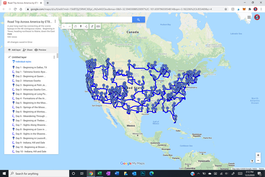
map of road trip along scenic byways across the USA

Day 255 – Idaho Heartland and Sawtooth Sampler

Day 255 of a Year Long Road Trip Along America’s Scenic Byways

After morning coffee with Sandy, I headed south to meet my friend, Kathryn.  An ex-colleague out of the Houston office turned doctor, that now lives in Boise.  We went for lunch at a local brewery and walked along the Boise River to the Boise Zoo. The giraffes were hiding.  I’m sad because I had my camera with me the whole time and forgot to take a picture!

After lunch I continued south to Shoshone Falls which were absolutely spectacular.  I was on information overload.  Each time I turned to look at a different portion, I noticed something new.  The Snake River tumbles 210 feet over numerous rock outcroppings.  I just loved it!

From the falls, I turned north up Highway 75 to end in Sun Valley for the night.  I got a great chicken stir fry at the Sun Valley Brewery which almost reminded me of Chef Wang’s at home.  An amber beer on tap and a little preseason football added to a relaxing evening.  ETB

Map of My Road Trip Across the USA

Learn more about my road trip across the USA, or click the link below for the interactive map.

Other Articles About Idaho You May Like

Best Adventure Travel Blog

white bird battlefield

Day 254 – Idaho Heartland (Part 2)

Day 254 of Year Long Roadtrip Following Scenic Byways in the USA

Ant and the Yellow Jacket

From Dworshak State Park, we followed the Clearwater River through the Nez Perce Indian Reservation and made a roadside stop at the Ant and the Yellow Jacket.  According to an Indian Legend, the stone arch was once two insects.  Ant and Yellow Jacket fought over who had the right to eat dried salmon in the area. The Coyote, the all-powerful animal spirit, ordered them to stop.  They failed to heed his warning, thus he turned them into stone while their backs were arched and their jaws locked together during combat.

ON THE ROAD AGAIN!
view of lochsa river through a bridge railing

Day 253 – Idaho Heartland

Day 253 of a Year Long Road Trip Along America’s Scenic Byways

As I was leaving Missoula, I realized there were a few sights I probably should have explored, but I guess I was excited to get to Idaho which is the last of the 48 contiguous states in which I really haven’t spent any time aside from driving through a portion of it a month ago.  I was hoping to fulfill my geocaching needs in this state, but AT&T doesn’t seem to exist here thus my apps are currently worthless.

ON THE ROAD AGAIN!