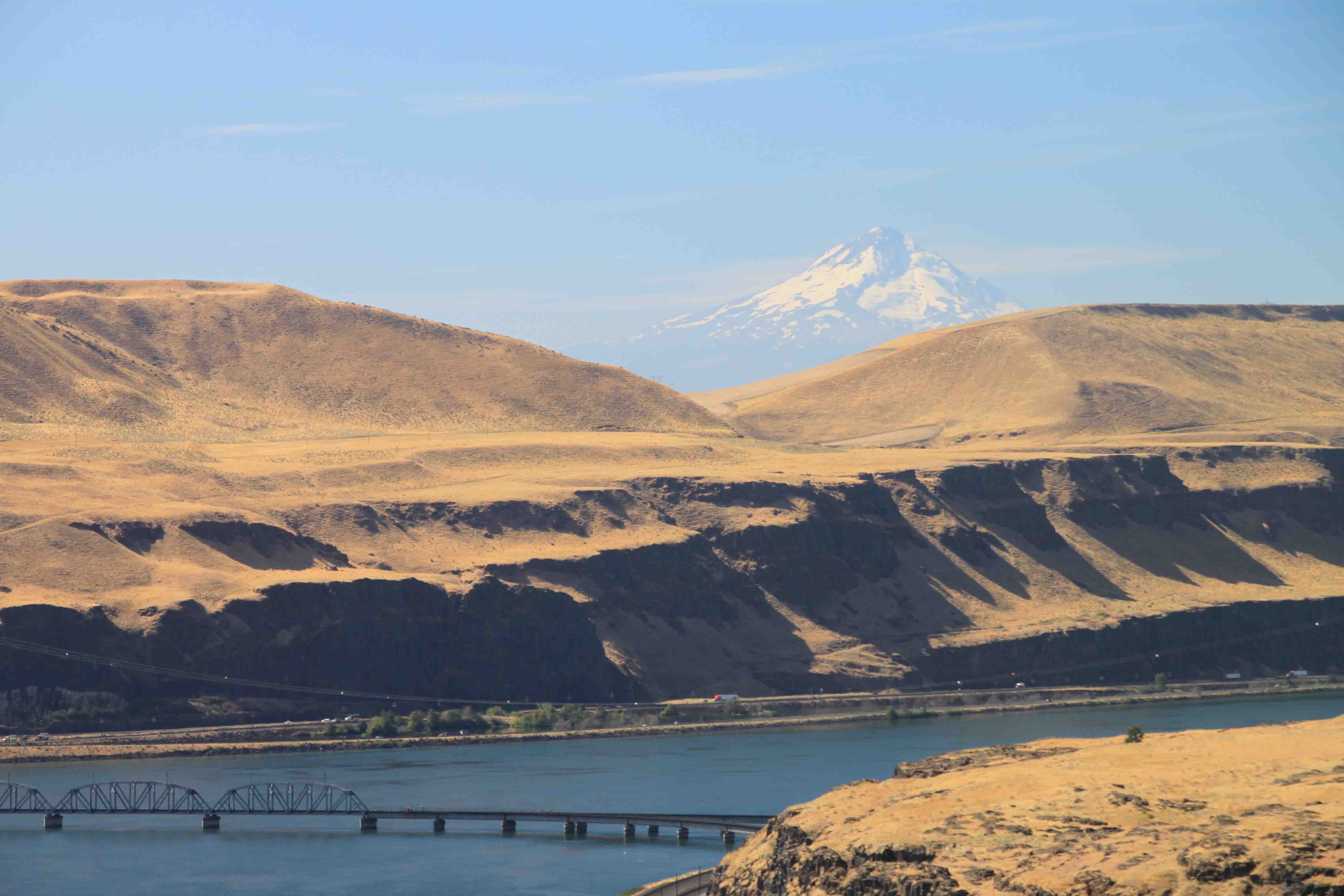
Another wonderful day in the Pacific Northwest! After a quick snapshot of Mount Adams, I took a short jaunt west from Trout Lake to explore an ice cave. I expected to be taken on a guided tour, but instead found myself alone in the Gifford Pinchot National Forest. Beneath the evergreens by a picnic area is the entrance to a lava tube. The cold air from the winter is trapped inside the cave forming an ice pool with stalagmite ice crystals poking upward from the floor.
Based on the information board map drawing there are two ice pools, a natural bridge, a crystal grotto, a crack room, and a few pits. I only explored the first ten feet of the 400 foot cave as I was alone and had no intention of falling on ice and sharp lava in the dark! I also followed a path above ground which led to the crack room and the pits. Had I had the proper equipment and a partner, I would have liked to see the crystal grotto. I bet it would be fantastic especially closer to winter time. The weak beam on my flashlight just barely illuminated the area from a distance, but neither my eyes nor my camera were successful in focusing on much!
From the ice caves, we continued slightly further west into the forest where we found a natural bridge which looked like it was formed when a lava tube collapsed. Bushes whose leaves were beginning to turn red with the fall weather blanketed the ravine as Douglas firs, red alders, and hemlocks reached to the sky in the surrounding forest.
Late morning, Petey and I finally left the forest and headed back toward the river’s edge. As we followed along Highway 14, the moist forest climate turned arid upon reaching barren, golden hills. Amid these hills, is a French-style chateau which houses the Maryhill Museum of Art. The chateau, constructed of concrete, was the inspiration of turn-of-the-century capitalist Sam Hill. Paintings by Rodin and other European masters can be found inside while a variety of sculptures can be found on the shaded, manicured grounds where peacocks strut.
In addition we stopped at a few roadside viewpoints including one near Celilo Falls, a sacred Indian fishing area, which now lies beneath the dammed river. Indians
accepted $26 million in 1957 in exchange for allowing the Dalles Dam to flood and silence the falls.
Just a few miles east of the museum, we visited Stonehenge, a concrete replica of the original, which Hill built as a memorial to Washingtonians who fought in World War I. Hill’s Stonehenge was the first monument in our nation to honor military personnel. It is said that the Quaker pacifist began constructing the monument which was completed in 1929 after visiting England during the 1914-18 conflict and was told it had been used for human sacrifices to pagan gods. Today, the sacrifice legend is generally discredited, and it is believed Stonehenge was a device used by stone-age astronomers to measure time and mark seasons.
After visiting the monument, we crossed the Columbia River to follow its southern banks back toward the west in northern Oregon. After passing through The Dalles, I maneuvered VANilla along the historic Columbia River Highway which switched back and forth up Oregon’s hills. Ornate guard rails lined the winding road: some of painted white wood and some of chiseled stone decorated with arches. We enjoyed a lovely view from the Rowena Overlook on a still, calm day. It would have been tough to guess that the Columbia River Gorge is one of the best windsurfing places in the nation today.
We finished the day at a town campground along the river in Cascade Locks. I was pleased to happen upon the quaint, sixteen spot area with free showers until I realized it would be a noisy night. I was camped about twenty yards from active train tracks! Still, it was a nice place to find.
ETB


You must be logged in to post a comment.