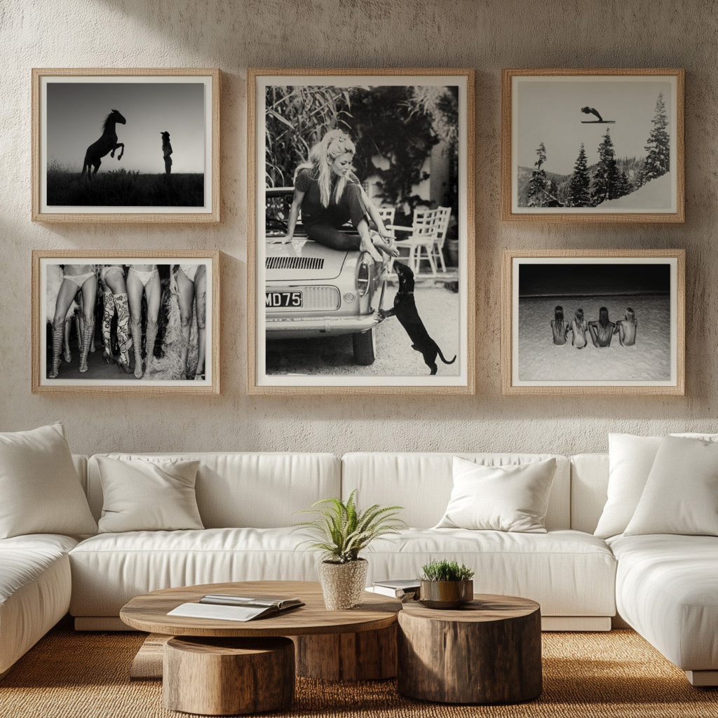
The walls of our homes have become canvases for personal expression, and luxury wall art has emerged as one of the most powerful tools for creating spaces that feel both sophisticated and deeply personal. As homeowners move away from mass-produced prints toward pieces with genuine artistic merit, the market for high-quality wall art has expanded dramatically. These carefully curated pieces do more than fill empty space—they establish mood, anchor design schemes, and reveal the sensibilities of those who live among them.
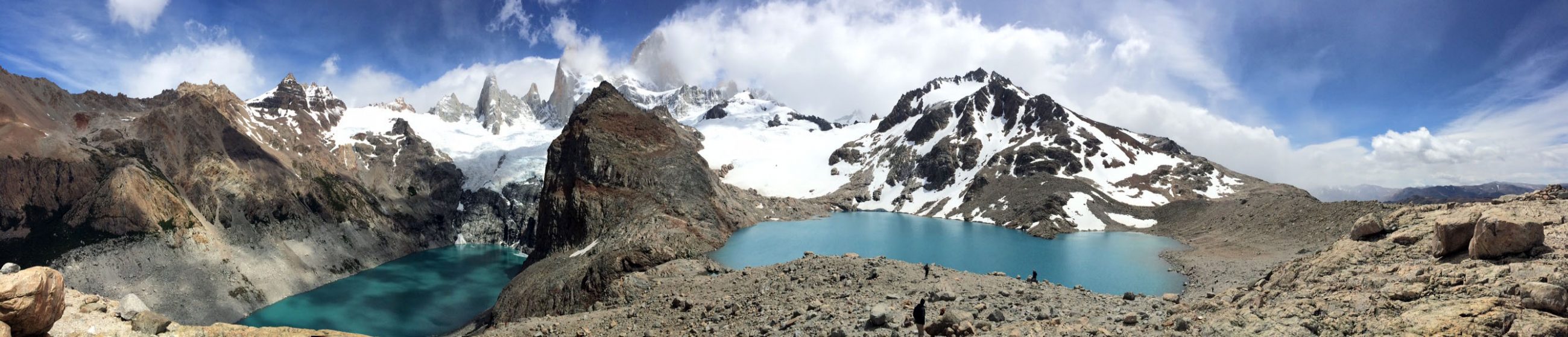
Travel photography occupies a distinctive position in this landscape. Unlike abstract compositions or traditional portraiture, travel images carry the weight of place and experience. A well-executed photograph from Kyoto’s bamboo forests or Iceland’s volcanic coastlines doesn’t simply decorate—it transports. When printed with archival materials and presented in museum-quality frames, these images become legitimate art objects that bring distant geographies into intimate spaces. This article examines how luxury wall decor, particularly travel photography, can fundamentally reshape interior environments.
HANG IT UP!


