
Day 1: Segment 18 Mile 0-12.4
I think we may have backpacked the easiest segment of the Colorado Trail yet (segment 18). We finished over 12 miles in about five hours and with the exception of one steep climb, it was mostly a stroll with many stops for pictures, snacks and adjustments.
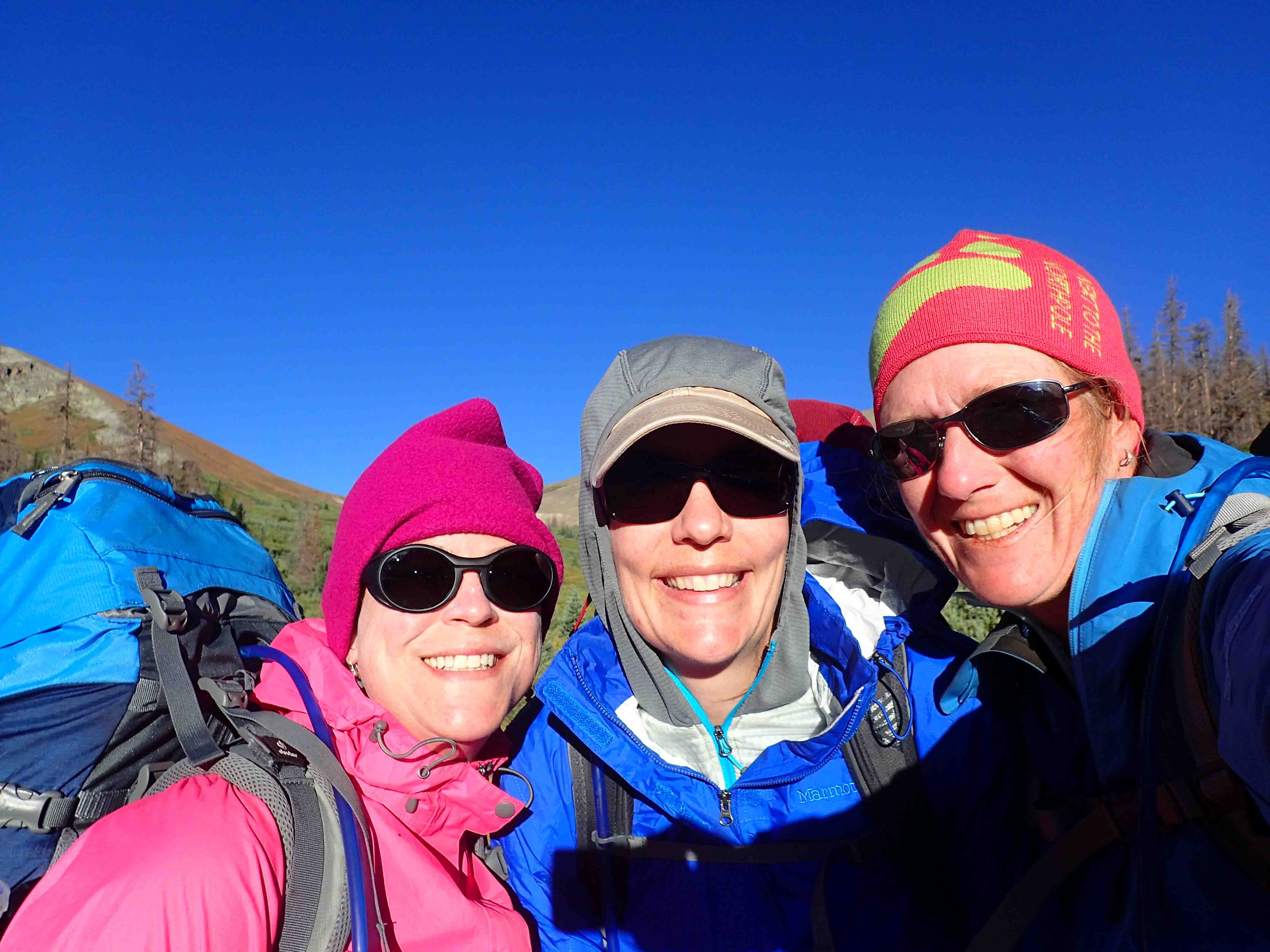
Our trip began Thursday night with a road trip from Denver to Saguache where got a hotel room with three double beds for $120…not bad. The room was peppered with signs. My favorite was, “Hold toilet handle down until all material passes through. Then lift handle up. Thank you.”


We left our hotel around 7am the next morning and arrived at the parking area for Segment 18 around 7:30. While confidence markers were posted on the gate at the beginning of the trail, it would have been easy to pass by if we didn’t know where we were going.


The path led us through a meadow and across a narrow creek with drinkable water in the first half mile. At this point, the trail turned left from the road and followed another creek that also appeared drinkable. It didn’t seem too disturbed by the cows that we had heard about.
The trail gradually climbed to 10,000 feet as it followed a logging road through the evergreen forest. The recent wet weather influenced significant mushroom growth. There were all kinds of varieties spread over the damp ground.
The only steep part of the segment was around mile four and we certainly worked up a sweat as we huffed and puffed up the path on this humid day. The forecast called for rain by 1:00pm and the looming clouds overhead seemed to promise it.


After mile four, we headed downhill, eventually left the forest, and joined a dirt road with a view of the valley. While it isn’t the most exciting to follow a road, it was a nice change of scenery for a half mile before we turned left on a far less traveled road. It was more like side by side footpaths that passed through sage covered fields dotted with a few wildflowers.
Soon we reached Los Creek which was very murky and smelly, and it wasn’t long after that we spotted our first cow. While the Colorado Trail book suggests this creek as a water source, I’d consider two forms of filtering and treatment if it is even considered drinkable.


We passed through several gates along the way and near one of the last one’s of the day around mile 11.9 was supposed to be Apple’s Camp. Apple comes out every year for a few weeks to man his jungle gym camp covered in tarps so through hikers can get water since the creeks are somewhat contaminated with cow feces in the area. I suppose he had already packed up for the summer, but we were planning on meeting our trail angel, Bernard, in the morning near Apple’s camp for a refill on water. As such, we saw a cluster of trees in the meadow a little further down the road and set up camp.


We could have hiked much further if it weren’t for the water situation, but instead we got our camp set up before 2pm. I don’t think we knew what to do with ourselves. We were excited to see the sun finally poke through the clouds and enjoyed it for a bit before we decided on naps. The naps were somewhat fruitless with the sun going in and out of the clouds and wind stopping and starting. It went from cold to hot and back. It felt like menopause.
Looking to the north, we spotted clear sky, however, the surrounding area featured ominous, black clouds which encouraged us to cook an early dinner. This was a good choice as the sprinkles began falling as soon as we finished. Fortunately, the sprinkles stopped in time for an amazing sunset and then soon returned encouraging us to take cover in our tents.
Day 2: Segment 18 Mile 12.4 – Segment 19 Mile 10.9
We awoke to a beautiful sunrise. It actually almost looked like a sunset it was so red. I wish we could say that was the only time we woke up, but between cars passing by, thunder rolling overhead, cows mooing, coyotes howling, and rain pitterpatting on our tents, it was a restless night.


Our trail angel, Bernard, arrived at camp around 7:45am after driving by us once. We got our camelbacks filled up and chatted for a bit while we let our tents dry out. We got on the trail or should I say road around 8:30am and we followed the road for quite some time. It took us through sage fields, across Monchego Creek which looked a little stagnant from a glance, and then up an incline until we reached Segment 19.

On Segment 19, we continued through the sage field, passed a fenced in spring that didn’t appear to be a spring, and then began a steady climb through an aspen grove. At mile 5.4, we reached a saddle for a breezy view before began descending toward Cochetopa Creek. Just into the beginning of the descent, it began to sprinkle. By the time we pulled on our raincoats, we were trekking in a drizzle.


Lucky for us, the rain didn’t last too long. Upon turning the corner toward a stock pond away from the gunfire behind us, a break in the clouds motivated us to settle on a lunch spot. We sat on top of a hill looking down on the creek just before reaching mile 7. We were already two-thirds completed with our daily mileage at 11:30am.
Lunch didn’t last long as drops of rain fell again, though once again it was short lived. We followed the creek through a flat valley flanked on its west side by aspen. I imagine the color change in this area will be spectacular in a few weeks. Soon we reached the creek crossing with no bridge. We walked far enough upstream to get to an island without having to soak our feet. Then we scouted an area where the water was about shin deep with only a light current.
We all took a different approach to crossing. Danelle sported clogs, I went barefoot, and Diana wore her trail shoes without socks or insoles. The crossing was easier than we thought it would be and our feet enjoyed the short ice bath. Though I can’t imagine fording the creek after the spring run off. It would be way too strong and deep for me! I’m glad we had the luxury of segment hiking in September.


From the creek, we climbed a few hundred feet to an awesome view of the valley below. The sprinkles fell once more and stopped. It would have been nice if the weather could have made up its mind. Around mile 10.9, we made our final creek crossing of the day and set up camp on the other side in the La Garita Wilderness. Fortunately, the nearby cows didn’t want to hang out next to our tents and moved into the woods.
Just as we began setting up camp it rained again. This time a little harder. We took cover until it passed. For a brief period, the sun visited. We set our clothes out to dry while we fetched water. We got to basque in the sun for about 30 more minutes before the whole area clouded in. Rain looked likely. We climbed in our tents just as a symphony of thunder clapped around the valley. The storm raged for the next 1.5 hours. My bladder and belly were ready for it to let up!


Finally we got to cook our dinner, but we ended up back in our tents rather quickly as once the sun dropped behind the mountains, the evening air was cold. Warm in our sleeping bags, we heard two guys and a girl going north bound on the trail. I hollered at Diana, “Are those your friends?” In order to segment hike without shuttling cars, a northbound group and southbound group swap cars before beginning the hike and then exchange keys on the trail in order to end the hike with their car. Diana had planned this with Mike, and sure enough it was Mike and two fellow hikers that were about to pass us. That would have turned key swapping into a mess.
Danelle quickly called out to them, “Want to camp with us?” It took them a minute to realize they knew some of us, and then they were very thankful to be able to set up camp as they were hiking at dusk. Mike and Ross erected their tents and cooked their food while April asked Diana if she could share a tent because she forgot hers! Yikes…not a good thing to forget. But we got our keys exchanged and turned in for the night.
Day 3: Segment 19 Mile 10.9 – Segment 20 Mile 7.6
Just as we prepared to get up this morning, it rained. UGH! So we slept in a bit and tried to let our gear dry out over breakfast, but it was a lost cause. We parted ways with the northbound group and gradually climbed a few miles to the end of segment 19. It took forever…We stopped to strip off layers, then to add them again, then for bathroom breaks. I don’t think we could make it a mile without stopping for something. The outhouse at the end of the trail may have been the cleanest bathroom I’ve been in. This was a small treat!


Continuing along the trail on segment 20 which followed the mountainside above a valley of willows with a creek snaking through, we still found ourselves stopping. Of course we needed a mid-morning snack and then a storm blew in out of no where, so we scrambled for our jackets. Of all the rain we encountered over the last few days, we got the most soaked in this 20 minute down pour. We stood under cover of the trees as the thunder clapped and the rain and icy pellets blew horizontally. Fortunately, it was coming from only one dark cloud that blew over quickly.
While the cloud left, the wind stayed. We must have a faced a 30 mph headwind for the rest of the day which for our sakes was short in mileage…maybe nine miles in total. Sadly this nine miles took as long as the 12 miles we hiked the two previous days. We just weren’t feeling it. Even after our stop for lunch by a beaver pond, we really never gained any energy. We continued plodding as we dodged the mud all over the trail. We hopped from side to side in fall foliage while trying to keep our shoes dry. We were excited to spot a couple of deer and finally collapsed at camp after we crossed the stream.


Our camp was in the open valley on a bit of a slope. I can’t say it was the greatest, but it had room for three tents (and then a fourth one once Michaela joined us). Michaela had finished the first 17 segments of the trail over the last summer and wanted to finish the rest this summer. She was hiking with her dad and sister, and we had been playing leap frog with them. Her sister got a lot of blisters so they left the trail to join later, but Michaela continued on.
She quietly sat on the outskirts of camp while we took cover from the wind and bitched to each other from tent to tent. Once the wind finally died down, we cheerfully chatted and Michaela joined us for dinner. At her 20 something age, she didn’t have quite as many aches and pains as us 40 somethings so we teased that now that we stopped whining she thought we might be fun to talk too!
With the sun going down, we thought we’d get a break from the wind, but no such luck. The gusts were over 50 mph. I think sometimes they probably reached the 70 mph range, but I couldn’t say that for sure. All I know, is that I wasn’t sure my tent was going to stay staked down all night and in the morning, my tent poles actually collapsed in on me. I had to push them back out. I have to say this may have been the worst campsite we have ever picked.
Day 4: Segment 20 Mile 7.6 – Segment 20 (the end)
We had planned on getting an early start, but a sleepless night and gusting wind called for another slow morning. I honestly didn’t feel that safe climbing up to the saddle near 13,000 feet just below San Luis peak with wind that strong. I got blown off the trail about a year ago with just a daypack on in less windy conditions, so I wasn’t too enthusiastic about trying this while carrying all my gear.


As the morning went on, the gusts were less frequent so we mostly only faced with the constant 30-40mph breeze. This seemed more reasonable. The climb wasn’t as steep as I expected and with the willows everywhere we found some protection from the weather, but at times I wondered if we were even on the trail as the willows had grown together, and we just pushed through.
The saddle offered lovely views of the valley and San Luis peak. It was quite ashame to see whole forest of evergreens killed by the pine beetle. It would have been much prettier had even one tree been alive. It was complete devastation. While the forest below was a disappointment, the marmots and pikas that made their homes in the boulders near the trail were fun to watch as they scampered from hole to hole.


The last few miles of Segment 20 was downhill, but still all against the wind. We were quite happy to see the trail junction where we turned toward the car and had to hike at least another mile. While we had some awesome girl time and lots of fun, I have to say we were happy to get off the trail. We all talked about how we likely couldn’t be through hikers. We were excited for regular food and a good bed. We even pondered why we subject ourselves to these conditions at all: bad weather, aching back, but it’s the beauty of the mountains that some people will never see and adventure that makes all the hiking worthwhile. The drive into Creede was great as we got to pass several old mines and we enjoyed good (non-dehydrated) food at Kips before heading home.


After this weekend, I have completed segments 1-13 and 18-20 which puts me over half way. I have now hiked or backpacked 272.3 miles of the 484.6 total miles. Diana and Danelle have even completed more. We all hope to be finished by next summer. ETB
SHOP
For notecards and key chains, visit My Shop on this website.
Published by