
Day 201 of Year Long Road Trip Along America’s Scenic Byways
Elk, elk, and more elk…that is the best way to describe my day! They were everywhere, though the first elk I spotted this morning couldn’t have posed any better for the camera.

Trail Ridge Road to Grand Lake
I stayed on the east side of the park last night, and took Trail Ridge Road 45 miles to Grand Lake. We passed through meadows, began climbing, and sputtered by a sign marking two miles above sea level. Soon thereafter, we flanked the mountain side as water from melting snow streamed off the slope between the ground and the snowpack. The road finally reached Forest Canyon Overlook, where stunted pines are contorted into odd shapes from relentless winds. Many of the trees limbs only grow on the leeward side of the tree trunks.


A red road sign with white block letters cautioned that driving conditions could change quickly just before we ascended above the timberline into an immense expanse of tundra; grasses and wildflowers only a few inches high. I considered taking a walk along the tundra nature trail, but the wind was something fierce, and I wasn’t dressed appropriately. The beauty was so amazing just sitting in VANilla, that I didn’t really feel the need to wander along the trail in hopes to spot a marmot given I had already gotten a close up view of one in Telluride a few weeks ago, and shortly after my decision to stay warm one scampered across the road.


As I came up on the ridge an elk of substantial size stood stately in front of the towering peaks as clouds sifted across the deep blue sky. I stopped behind four other passenger cars that were admiring the view in the middle of Trail Ridge Road. Just as I began to press on, another elk arose atop the ridge. The two briefly stared at one another and returned to grazing. Just up the way, a parking lot on the left-hand side of the road catered to tourists. I stopped to find a small herd of elk on the horizon…more pictures. We carried on around the bend and were greeted with hundreds of them spread across the tundra.


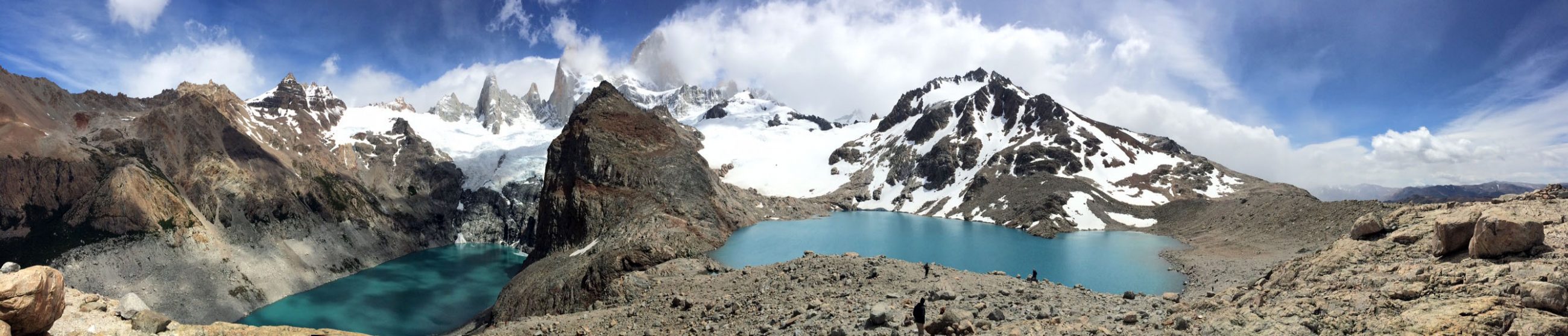
Lava Cliffs
We continued on to Lava Cliffs, but seemed to stop every few hundred yards to capture views of the cloud covered peaks and barren slopes swathed in snow and to admire both the eeriness and splendor simultaneously. Thankfully the biting summer wind was much slower and warmer than the winter wind that tops 200 miles per hour and brings temperatures down to sixty degrees below zero. My next opportunity for a view was blocked by low clouds, and I found myself thankful that I could skip one pull out and not feel like I was missing a good photo!
The lava in Lava Cliffs is volcanic ash deposited 26 million years ago and compacted into the rock called tuff. Glaciers stripped away the overlying material exposing the volcanic past. One mile after reaching the Lava Cliffs, the road crested to its highest point at 12,183 feet. More white-patched peaks, also known as the Never Summer Mountains, stood to the west.

Continental Divide
As we began our descent, we stopped at the Alpine Visitor Center, whose latticework logs keep the roof in place during hurricane-force winter storms. Perhaps Florida should adopt this architectural feature! Further along the way we crossed the Continental Divide at Milner Pass. Poudre Lake drains into the Mississippi River ultimately reaching the Gulf of Mexico and the Atlantic Ocean. On the opposite side of the divide, Beaver Creek drains into the Colorado River which flows through the Grand Canyon National Park and into the Gulf of California, part of the Pacific Ocean.


In Search of Moose on the Way to Grand Lake
The next 16 miles of relatively straight road descended through pine forests, past campgrounds, and through beaver dammed meadows. This area was supposedly good for spotting moose. I tried in vain. I actually drove down the road, turned around and drove up it, and then drove down it again. I was bound and determined to spot one. Each time another car was pulled off the side, I slowed as quickly as possible, causing Petey to hang on for his life! No luck…but I found more elk.
Eventually I reached Grand Lake and found some remote camping where ATVing seemed to be the attraction. We hadn’t taken a walk all day as we had spent the morning at overlooks, so we walked from the meadow, our makeshift campground, up the dirt road and into the national forest where we found an ATV trail to follow. The trail ran through the pines, mostly dead from the Rocky Mountain Pine Beetle, so I focused my attention toward the myriad of wildflowers…wild rose, blue columbine, wild geraniums and more.


We crossed a small creek where I followed a woodpecker to the top of the ridge. He continuously tried to allude my camera. Standing as still as possible, I’d adjust the camera to full zoom, slowly raise the viewfinder to my eye and focus when it would flit to the next dead tree. After about six times of repeating these motions, I finally snapped a decent photo. Birds hear everything…I need a bigger zoom! Finally we returned to our campground where we enjoyed a lovely sunset as the snow-capped mountains took on a pink hue and turned in for the evening. ETB


Map of My Road Trip Across the USA
Learn more about my road trip across the USA, or click the link below for the interactive map.

Interactive Map of Road Trip Across the USA
Other Articles About Colorado You May Like

You have made me sooo jealous, I need to travel! (: great photos!
beautiful post!
It’s almost like they were posing for your camera !!! How exciting and majestic…and the sunset to top it all off !
These are the days !
Enjoy.
x
Fluff
Beautifully written. Your pictures are stunning.
Thank you so much