Day 239 of Year Long Road Trip Along America’s Scenic Byways
Today’s scenic drive on the Platte River Road led me to a variety of rock formations. Given rocks fascinate me, I was pleasantly surprised with the western portion of Nebraska. I probably drove close to 150 miles before I made my first stop. Sometimes I like that, as I can zone out and listen to music or to books on CD…Stephen King’s The Dome is the current choice. Not surprisingly, it is weird.
Courthouse Rock
My first stop was Courthouse Rock and Jail Rock, two of the most famous landmarks of the westward migration. The rocks were located near the Oregon-California Trail, the Mormon Trail, the Pony Express Trail, and the Sidney-Deadwood Trail and were the first of several natural “road signs” weary travelers encountered. As a result of erosion, the rocks; composed of clay, sandstone, and volcanic ash, rise 400 feet above the North Platte Valley. This natural, historic site is also home to a geocache!

Chimney Rock National Historic Site
Further down the road stands Chimney Rock, a solitary spire that punctuates the naked plains. Rising nearly 500 feet and visible from 30 miles away, Chimney Rock signaled travelers along the Oregon Trail that they were about to begin the second leg of their journey across much rougher terrain. When I visited, the grasshoppers were out in force. They zipped back and forth in front of my camera lens with every click of the shutter.

Scotts Bluff National Monument
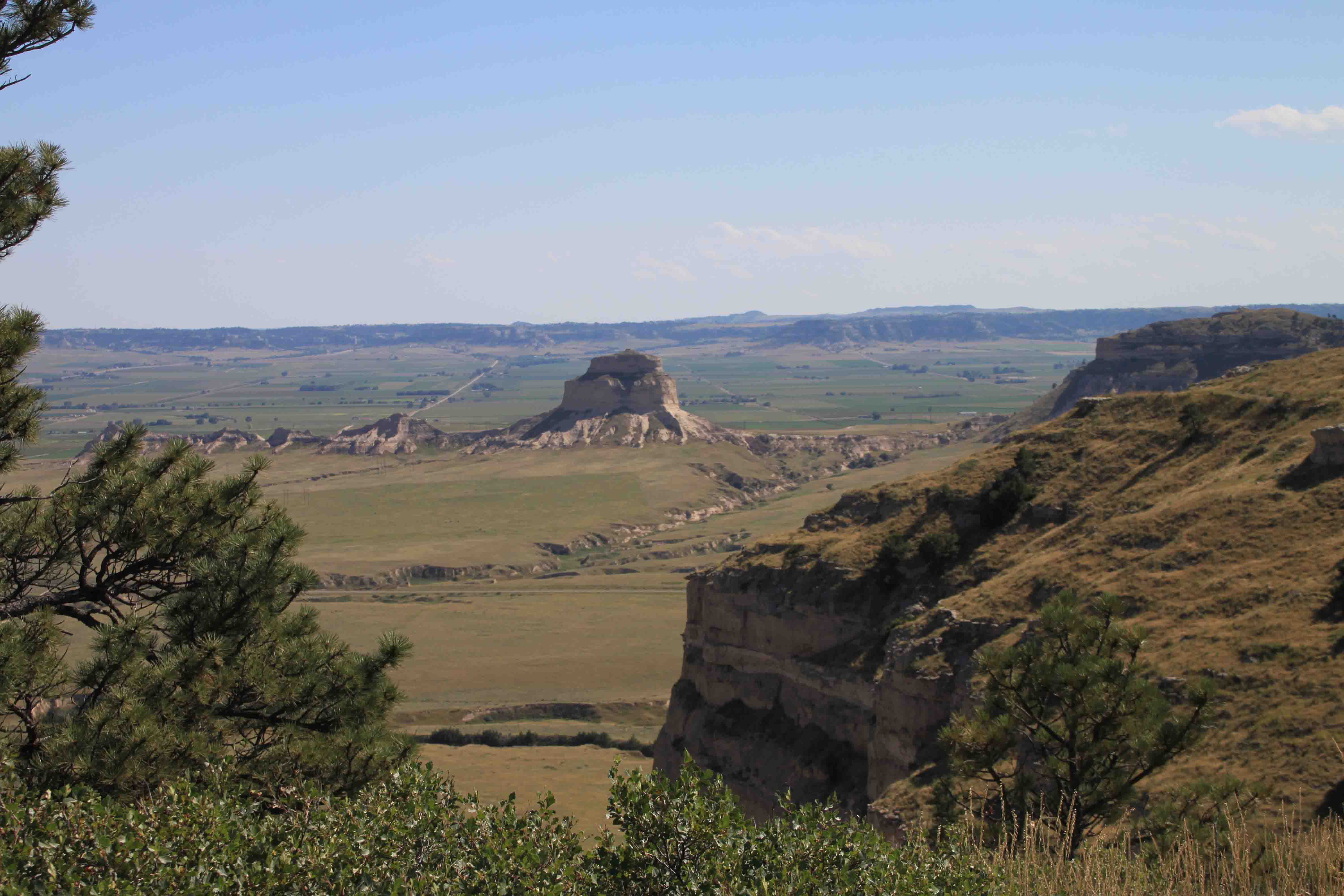
As we continued northwest along Platte River Road, we made a brief stop at Wildcat Hills Recreation Area, chose not to stay, and moved on to Scotts Bluff National Monument. Scotts Bluff is over 500 feet high and a half mile wide. It was named by fur traders for a fellow trapper who mysteriously died in an 1828 expedition. Though travelers soon discovered the Indian name meaning “the hill that is hard to go around” was far more apt.
Wagons had to travel single file through a narrow short-cut called Mitchell Pass which still displays wheel ruts from over a century ago. Petey and I took a short stroll alongside the wagon display on the Oregon Trail and then with the help of VANilla enjoyed the views from atop the bluff.


We ended the night at a campground in Fort Robinson State Park that I am eager to explore in the morning! ETB
Map of My Road Trip Across the USA
Learn more about my road trip across the USA, or click the link below for the interactive map.

Other Articles About Nebraska You May Like


good history lesson ty
This is great. Thanks for sharing. Hoping to make it to NE this summer while on a road trip out west.