atomic bomb

Day 294 – National Museum of Nuclear Science and History

Day 294 of a Year Long Road Trip Along America’s Scenic Byways
National Museum of Nuclear Science and History

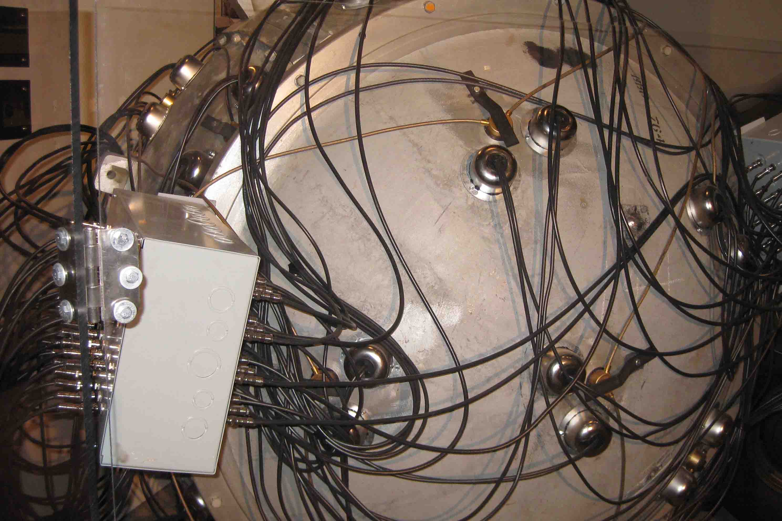
Before I began a long drive from Albuquerque to Wichita Falls on an extremely windy day; tumbleweeds bounced across the highway as dust filled the sky; I stopped at the National Museum of Nuclear Science and History.  The museum included exhibits on WWII, the Manhattan Project, nuclear scientists, the cold war, the Cuban Missile Crisis, the falling of the Berlin Wall, and a variety of weapons, some still in use today.

ON THE ROAD AGAIN!

Days 292 – 293: Petrified Forest National Park

Days 292 and 293 of Year Long Roadtrip Following Scenic Byways in the USA

Day 292

Well, I didn’t see anything of interest yesterday except road construction taking place in the rain. Most the time the road was just blocked off with no one there.  I couldn’t believe when I saw a crew was working in the rain!

I did forget to mention that while in Kings Canyon I parked behind a car with a Hawaii license plate, and I recall an Alaska one from Washington. While I didn’t concentrate on the other 48 states or for that matter consciously look for Hawaii and Alaska plates, I believe I can say I succeeded at the license plate game over the last year as I traveled to all contiguous states!

ON THE ROAD AGAIN!
hospital rock in sequoia national park

Day 291 – Sequoia National Park

Day 291 of a Year Long Road Trip Along America’s Scenic Byways

Sequoia National Park

So this morning I left Kings Canyon National Park and headed south to Sequoia National Park.  On the way, we passed by the world’s largest Sequoia Grove.  The grove covers five square miles and contains over 2,100 sequoias larger than ten feet in diameter.  I wonder who counted that.

ON THE ROAD AGAIN!
sequoia national forest

Day 290 – Kings Canyon National Park

Day 290 of a Year Long Road Trip Along America’s Scenic Byways

Over the past year, I heard that Kings Canyon and Sequoia National Parks are as pretty as Yosemite, but without the crowds.  Before returning to Texas, I thought I would see about that and drove 50 miles east from Fresno to the Northwest entrance of Kings Canyon National Park.

My first stop was to see the General Grant Tree, a giant sequoia.  In fact, it is the widest known sequoia, forty feet across, and the third largest tree in the world in terms of volume.  It stands 268 feet high, weighs 1,254 tons, and its circumference is 107 feet around.  Its largest branch is 4.5 feet in diameter and its first branch is 129 feet from the ground.  A few interesting facts about the tree:

ON THE ROAD AGAIN!
half dome

Day 289 – Yosemite and Beyond (Part 5)

Day 289 of a Year Long Road Trip Along America’s Scenic Byways

Well, I survived the forest fires, fear of active bears, and camping roadside last night, though VANilla reeks of smoke and dead animal smell.  Whew, I hope it goes away soon.  I returned to Yosemite for one final visit.  First I swung through the valley to take advantage of the only shower facilities in the enormous park. 

I couldn’t believe how low the Merced River was flowing.  In May, it was swelling out of its banks.  Today, sandbars were poking up in the middle of the river.  Many of the waterfalls appear to be seasonal as well, as I didn’t notice some of them today. For a waterfall lover, the best time to visit Yosemite would be as soon as all the roads open.  I believe this is generally in May, though this year due to the heavy winter, I believe it was later.

ON THE ROAD AGAIN!
Tenaya Lake

Day 288 – Yosemite and Beyond (Part 4)

Day 288 of a Year Long Road Trip Along America’s Scenic Byways

Yosemite National Park

Mono Lake

From Reno, I followed Highway 385 south to Mono Lake, located just east of the Tioga Pass entrance to Yosemite National Park.  Mono Lake, nestled in a basin of sagebrush bordered by volcanic peaks is over 760,000 years old, making it one of the oldest lakes in North America.

The lake has no outlet. For thousands of years, streams have carried their minerals into the lake and evaporation has removed water from it. As a result, the mineral content has risen to almost 10 percent.  The salty waters afford swimmers a delightful sensation of buoyancy.  While fish can’t survive in these alkaline waters, it is still one of the most productive lakes in the world.  It supports millions of brine shrimp, alkali flies, and migratory birds.

ON THE ROAD AGAIN!
lassen volcanic national park

Day 287 – Mount Shasta – Cascade Loop (Part 5)

Day 287 of Year Long Road Trip Along America’s Scenic Byways

Another park that was closed due to snow in May when I was in the northern California area was Lassen Volcanic National Park so as I head south to Texas, I have revisited the park, this time on a beautiful day at the end of September.

ON THE ROAD AGAIN!
crater lake

Day 286 – Rogue-Umpqua Scenic Byway (Part 3)

Day 286 of a Year Long Road Trip Along America’s Scenic Byways

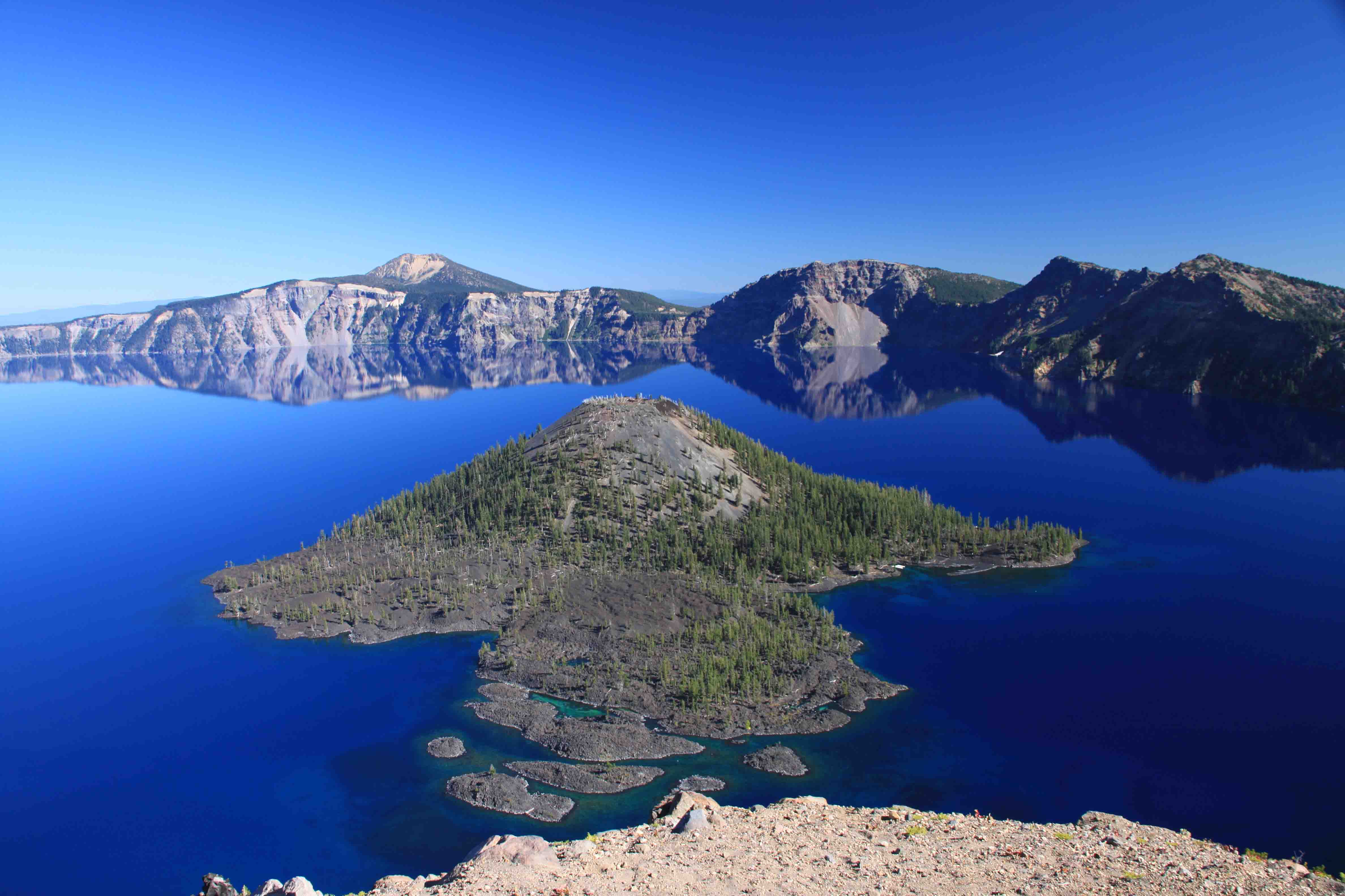
I made a quick stop at Oregon’s largest Ponderosa Pine in LaPine Recreation Area.  It is approximately 500 years old and stands 162 feet high with a diameter of 8.6 feet.  From here, I headed south to Crater Lake.

ON THE ROAD AGAIN!
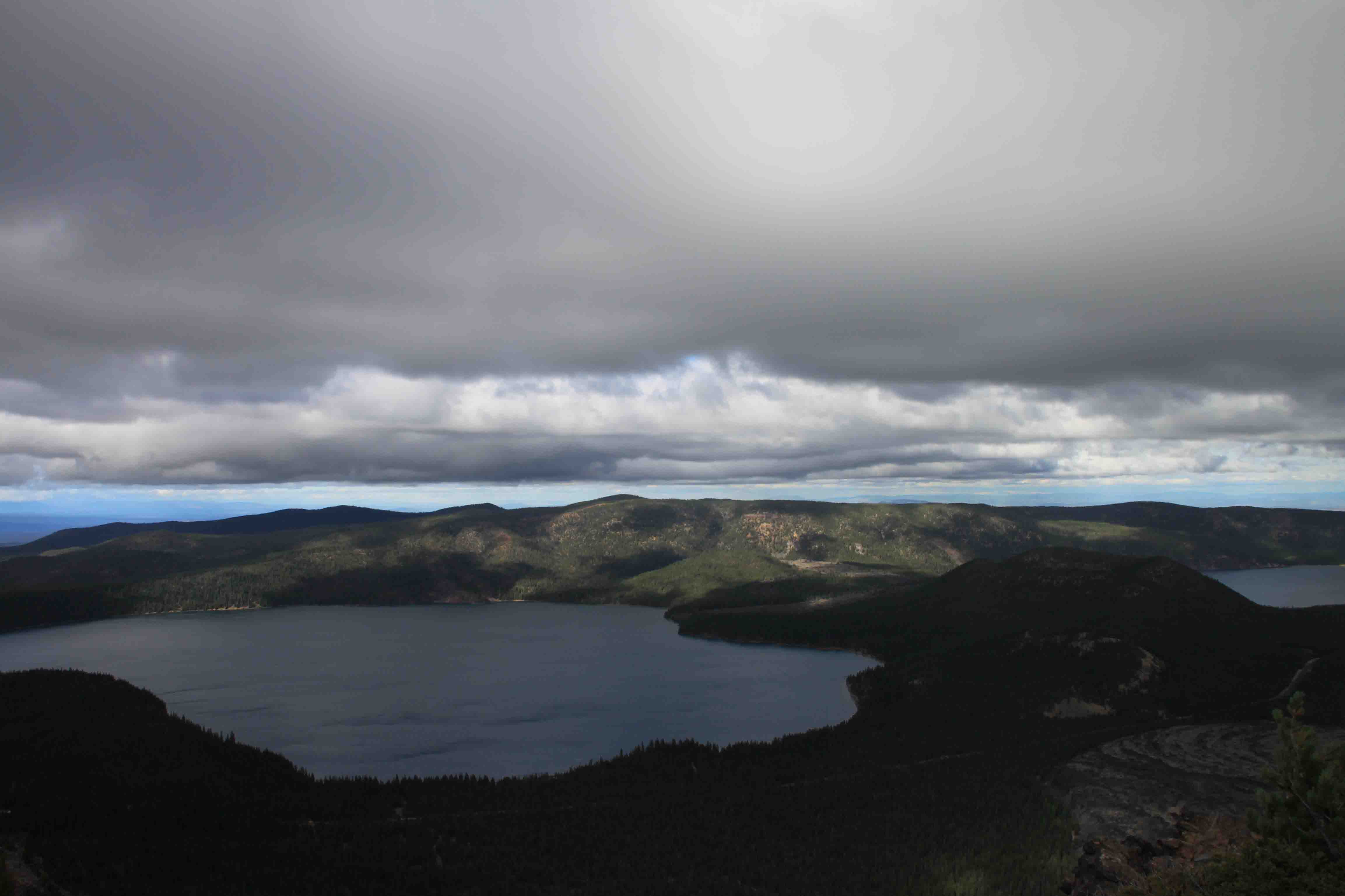
paulina and east lake

Day 285 – Cascades Lakes Highway

Day 285 of a Year Long Road Trip Along America’s Scenic Byways

Sparks Lake

The skies were clear in Bend when I headed west into the Deschutes National Forest via the Cascade Lakes Highway.  Once I got into the mountains; however, it was a different story:  overcast and misty.  I can only imagine the beauty of Sparks Lake in the sunlight.  I rounded the bend and came across a golden prairie, perfectly flat like a parking lot, situated in between the evergreen covered mountains. 

It was such a stark contrast that it was simply remarkable despite the poor weather. At first, I didn’t even see the lake, only a narrow stream which wound through the meadow.  In fact, when I stopped to snap a photo, a placard claimed the Ray Atkeson, a professional photographer, felt this was the most stunning landscape in Oregon.

ON THE ROAD AGAIN!
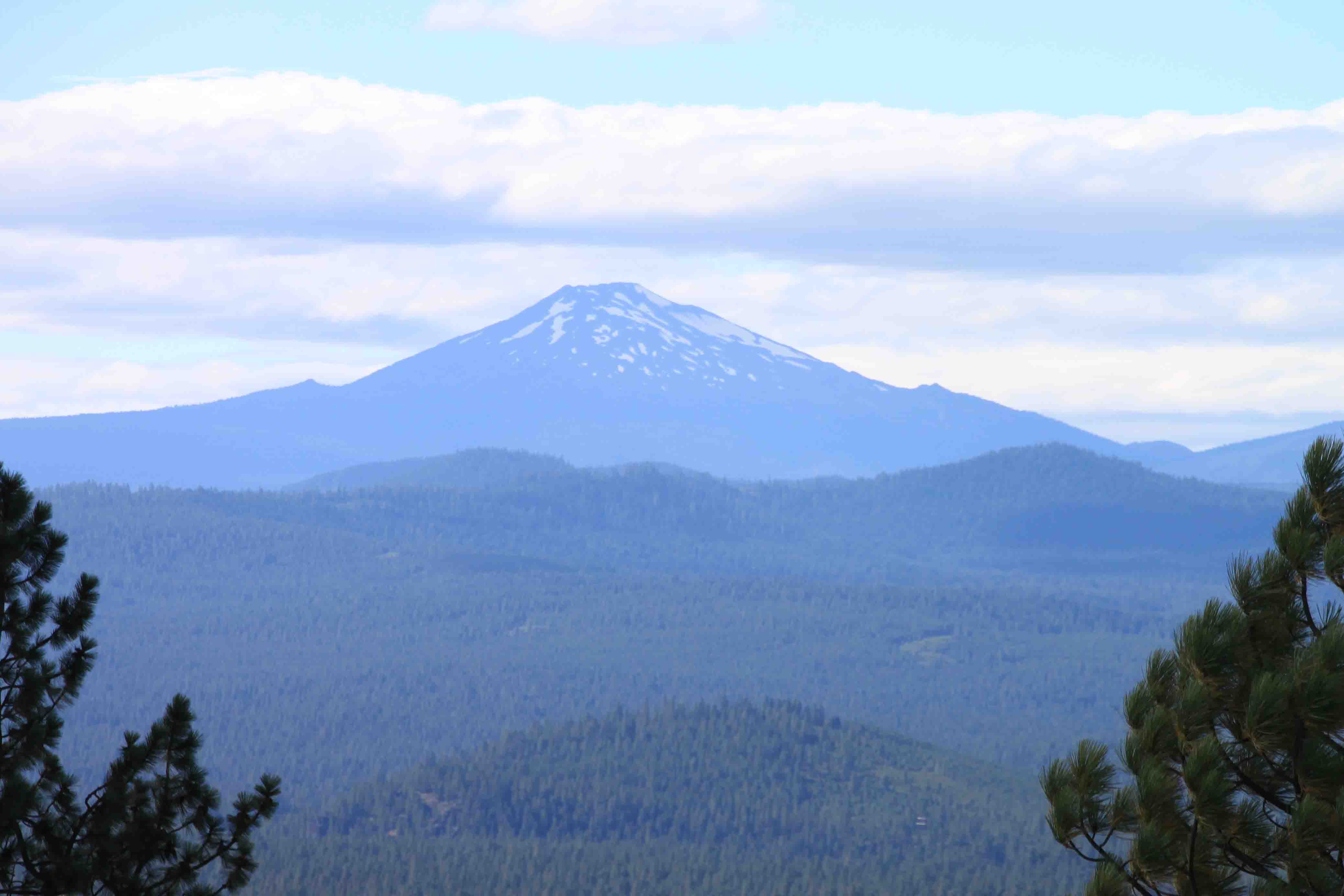
mount bachelor

Day 284 – Mount Hood – Columbia River Gorge Loop (Part 4)

Day 284 of a Year Long Road Trip Along America’s Scenic Byways

Barlow Road Tollgate

We awoke to another dreary day which kept me from any hikes first thing in the morning.  Just along the highway, we made our first stop at the reconstructed Barlow Road Tollgate.  Opened by Sam Barlow in 1846, this passageway was the first toll road on the Oregon Trail. Prior to the opening, pioneers had to convert their covered wagons into rafts and ride the rapids of the Columbia River.  Travelers paid 25 cents to pass through the gate and meeting the toll man was even a social occasion as they hadn’t seen anyone for miles.

ON THE ROAD AGAIN!